© Tourenportal Berchtesgadener Land - Bergerlebnis Berchtesgaden

© Tourenportal Berchtesgadener Land - Bergerlebnis Berchtesgaden

© Kempinski Hotel Berchtesgaden

© Tourenportal Berchtesgadener Land - Bergerlebnis Berchtesgaden

© Tourenportal Berchtesgadener Land - Bergerlebnis Berchtesgaden

© Tourenportal Berchtesgadener Land - Bergerlebnis Berchtesgaden

© Tourenportal Berchtesgadener Land - Bergerlebnis Berchtesgaden

© Tourenportal Berchtesgadener Land - Bergerlebnis Berchtesgaden
Turnédatoer
10,41km
888
- 1.038m
245hm
242hm
02:00h

- Kort beskrivelse
-
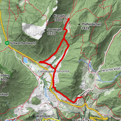
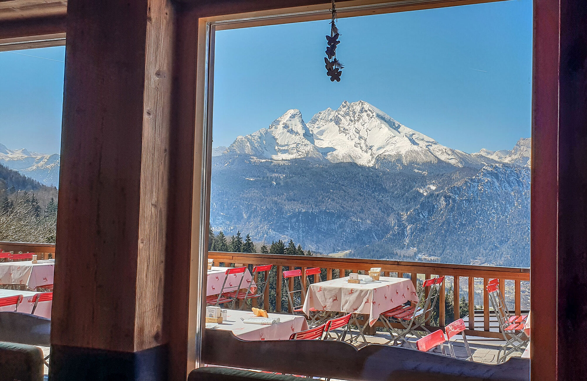
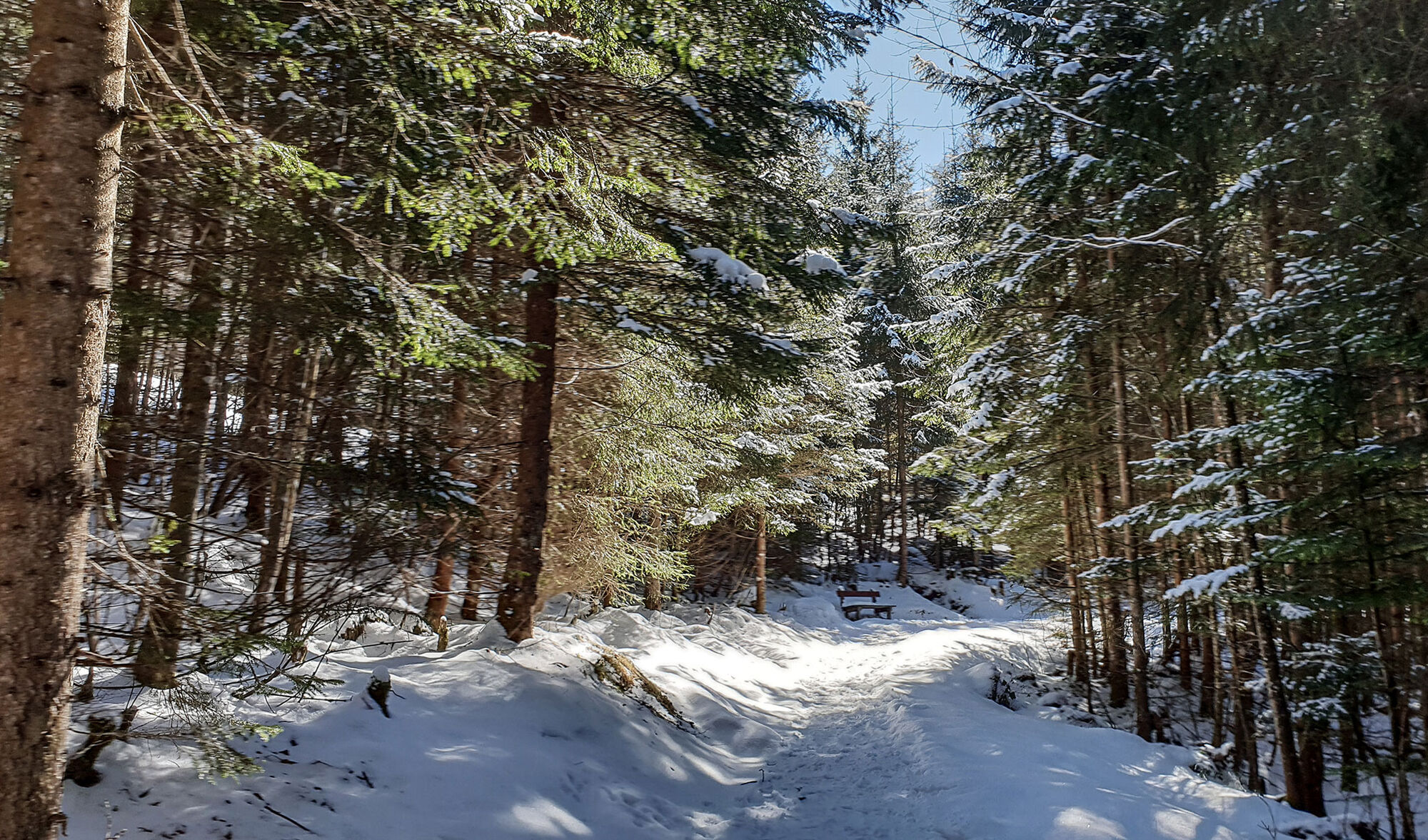
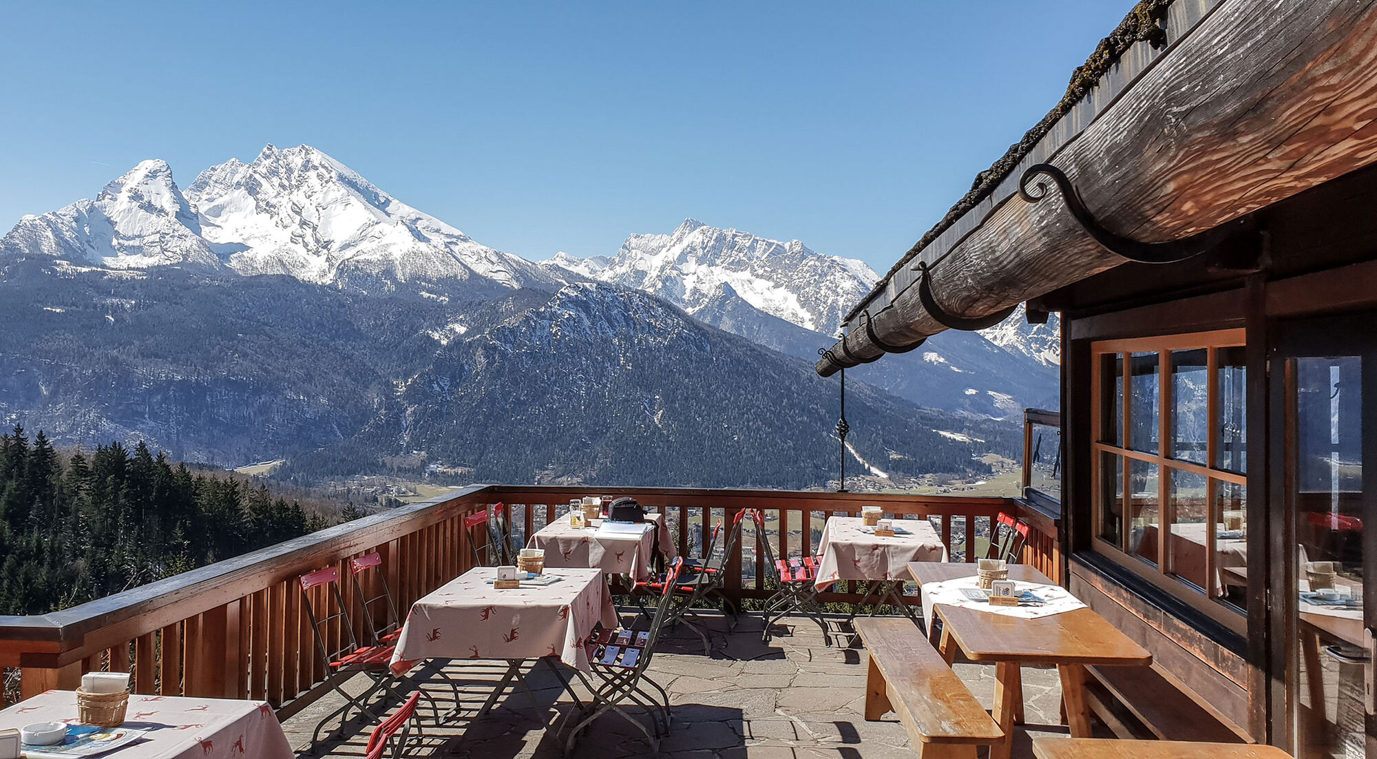
Aussichtreiche Wanderung am Obersalzberg
- Sværhedsgrad
-
let
- Evaluering
-
- Rute
-
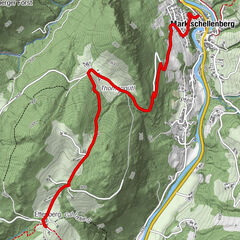
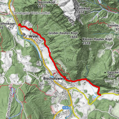
Berggasthof Obersalzberg0,1 kmAlpengasthof Hochlenzer2,4 kmAlpengasthaus Graflhöhe3,2 kmWindbeutelbaron3,2 kmWindbeutelbaron7,1 kmAlpengasthaus Graflhöhe7,1 kmAlpengasthof Hochlenzer8,0 kmBerggasthof Obersalzberg10,3 km
- Bedste sæson
-
augsepoktnovdecjanfebmaraprmajjunjul
- Højeste punkt
- 1.038 m
- Destination
-
Dokumentation Obersalzberg
- Højdeprofil
-
 © outdooractive.com


-

-
ForfatterRundvisningen Carl von Linde Weg bruges af outdooractive.com forudsat.
GPS Downloads


Generel information
Forfriskningsstop
Kulturel/Historisk
Flere ture i regionerne