Turnédatoer
2,31km
639
- 870m
217hm
217hm
01:30h
- Kort beskrivelse
-
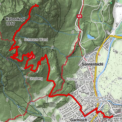
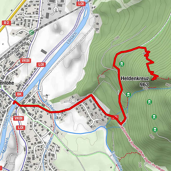
Wanderweg zum Eschenloher Heldenkreuz
- Sværhedsgrad
-
let
- Evaluering
-
- Udgangspunkt
-
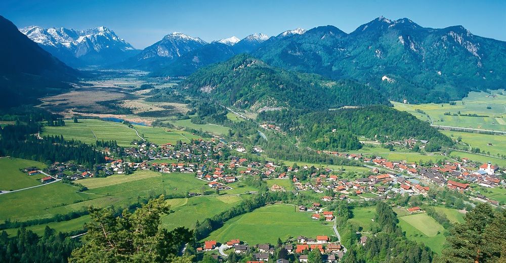
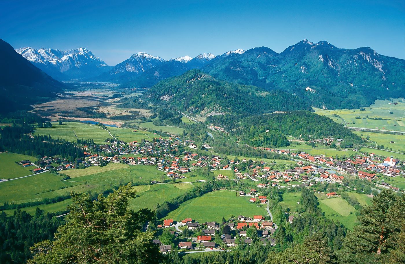
Eschenlohe
- Rute
-
Gasthaus zur Brücke0,0 kmEschenlohe (636 m)0,0 kmTaverne Athen0,1 kmHotel-Restaurant Tonihof0,6 kmHeldenkreuz (963 m)2,3 km
- Bedste sæson
-
janfebmaraprmajjunjulaugsepoktnovdec
- Højeste punkt
- 870 m
GPS Downloads
Stiens tilstand
Asfalt
Grus
Eng
Skov
Sten
Udsat
Flere ture i regionerne
-
Zugspitz Region
1368
-
Eschenlohe
447