© GaPa Tourismus GmbH - GaPa Tourismus Online


- Kort beskrivelse
-
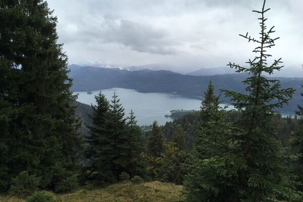
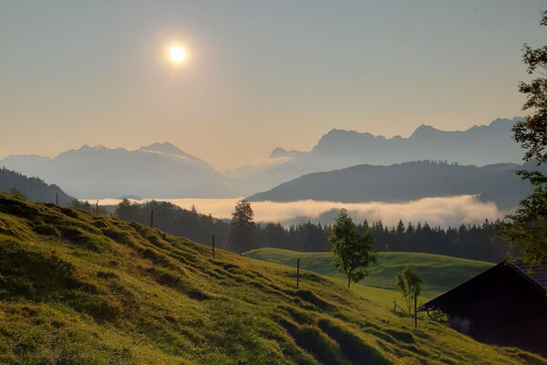
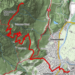
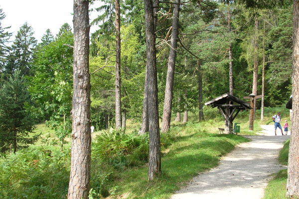
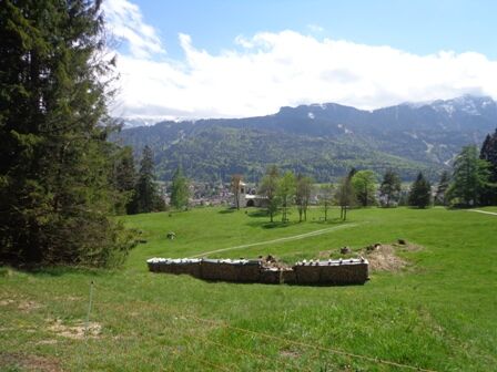
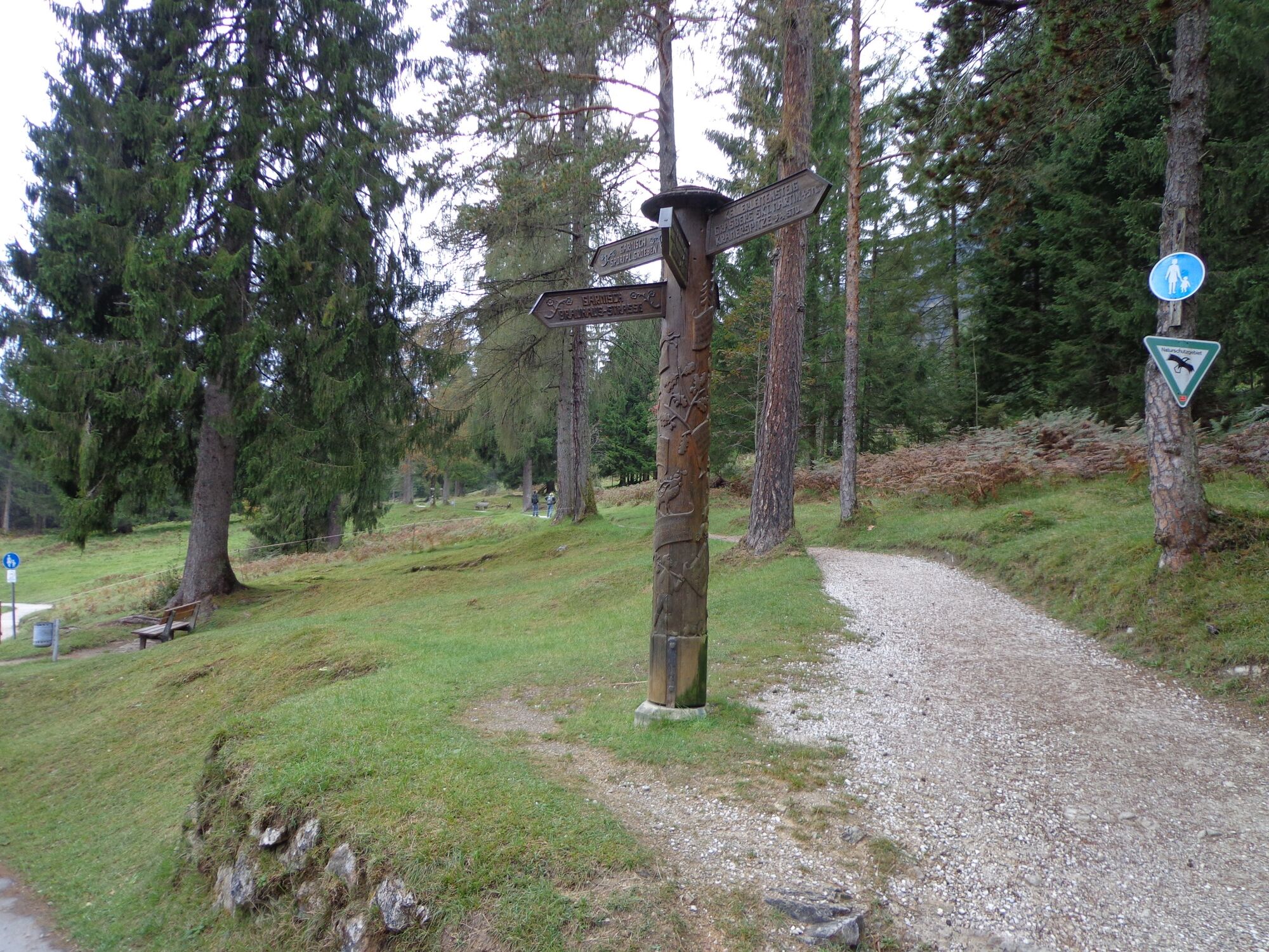
A nice tour at the foot of Mount Kramer with beautiful views and along well-maintained hiking paths. There are no major ascents or descents. You have numerous possibilities to make the tour shorter by using one of the paths leading back into the valley.
- Sværhedsgrad
-
let
- Evaluering
-
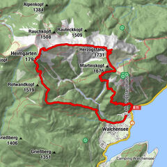
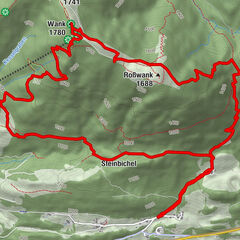
- Rute
-
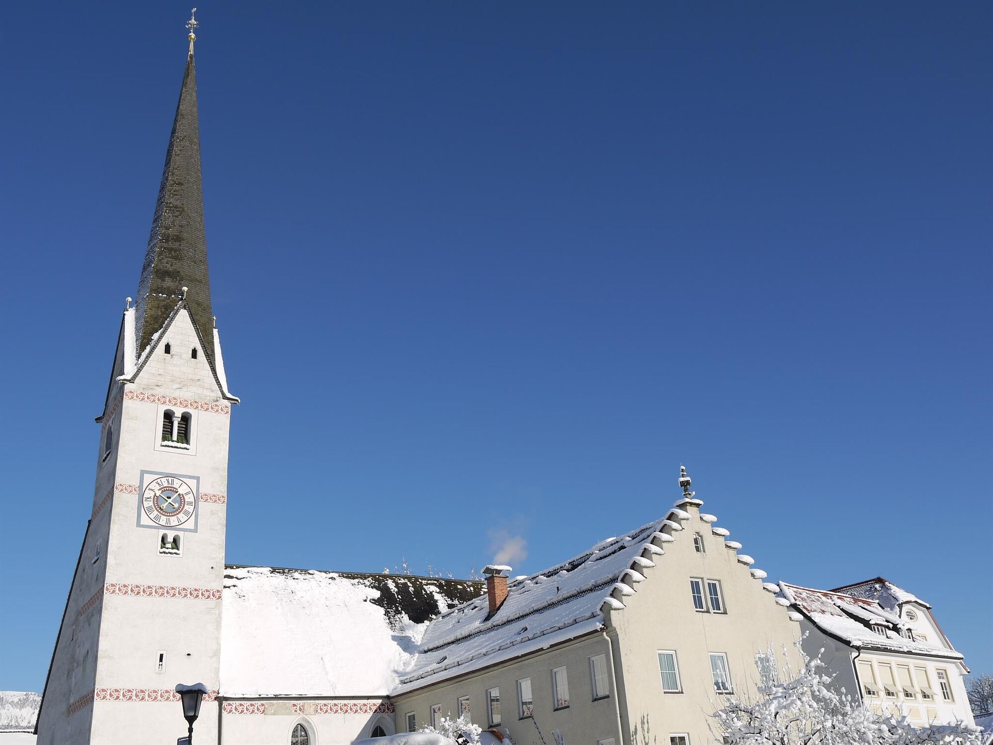
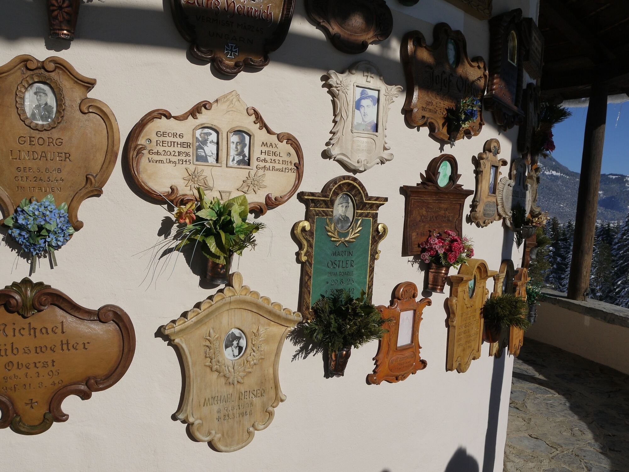
Garmisch-Partenkirchen (708 m)Blick auf Zugspitzmassiv1,1 kmGarmisch1,2 kmAlmhütte - Windbeutelalm4,1 kmKriegergedächtniskapelle6,1 km
- Bedste sæson
-
janfebmaraprmajjunjulaugsepoktnovdec
- Højeste punkt
- 798 m
- Destination
-
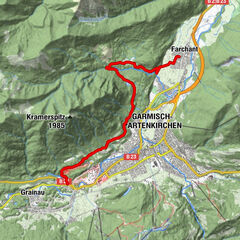
Loisachbrücke / Parkplatz Wittelsbacher Park
- Højdeprofil
-
 © outdooractive.com

- Forfatter
-
Rundvisningen Hike along the Kramerplateau trail above Garmisch-Partenkirchen bruges af outdooractive.com forudsat.
GPS Downloads


Generel information
Forfriskningsstop
Helbredende klima
Kulturel/Historisk
Insider-tip
Flora
Lovende
Flere ture i regionerne
-
ZugspitzLand
1623
-
Garmisch-Partenkirchen
555