© Füssen Tourismus und Marketing - Sabine Hipp

© Füssen Tourismus und Marketing - Sabine Hipp

© Füssen Tourismus und Marketing - Sabine Hipp

© Füssen Tourismus und Marketing - Sabine Hipp

© Füssen Tourismus und Marketing - Sabine Hipp

© Füssen Tourismus und Marketing - Sabine Hipp

© Füssen Tourismus und Marketing - Sabine Hipp

© Füssen Tourismus und Marketing - Sabine Hipp

© Füssen Tourismus und Marketing - Sabine Hipp

© Füssen Tourismus und Marketing - Sabine Hipp

- Kort beskrivelse
-
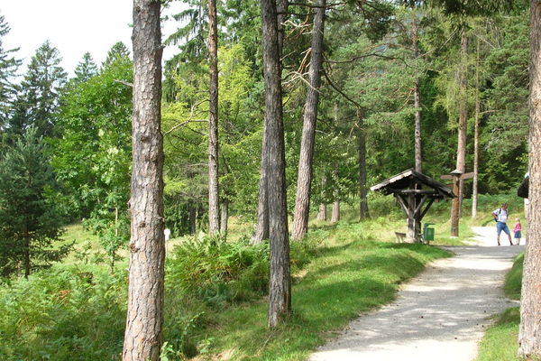
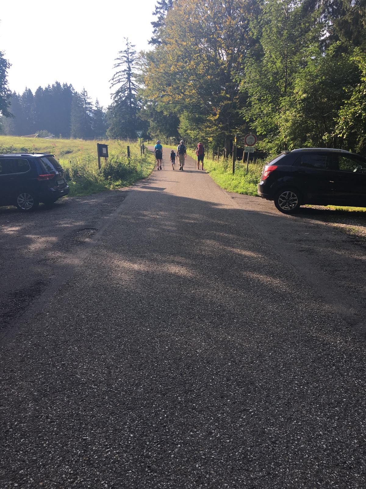
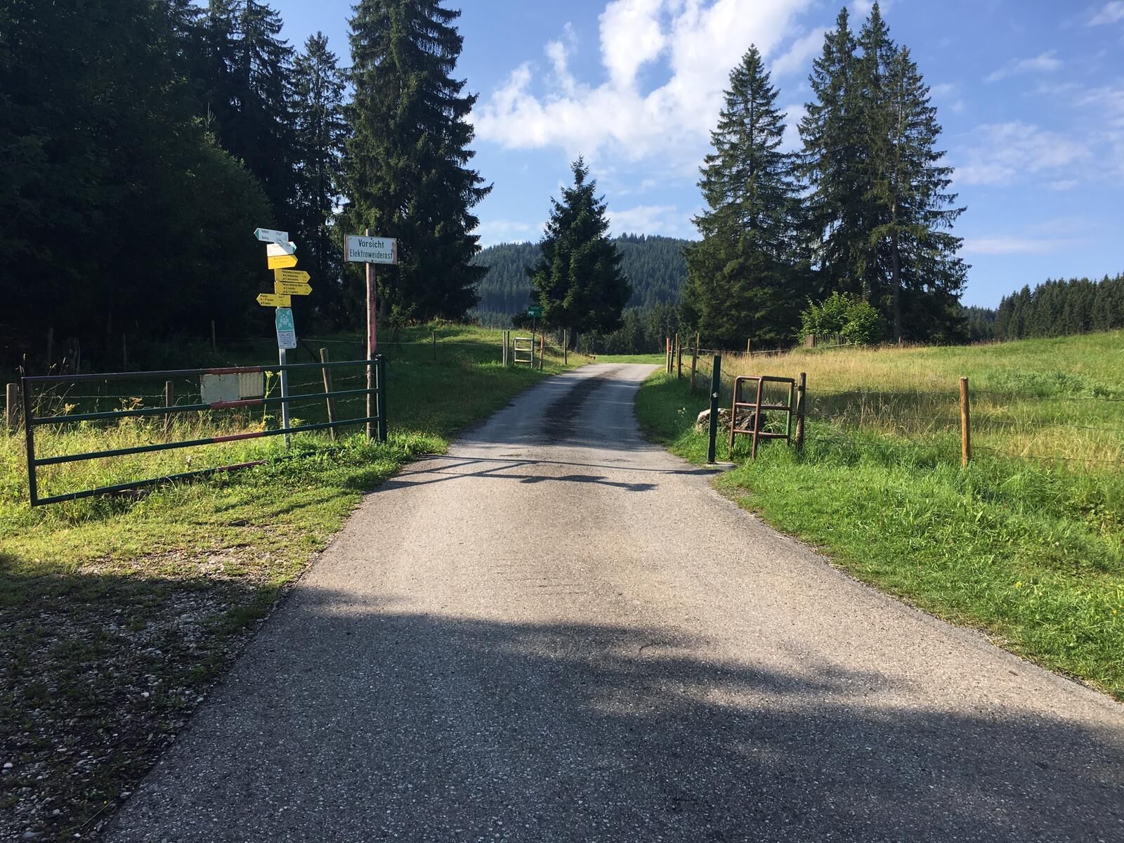
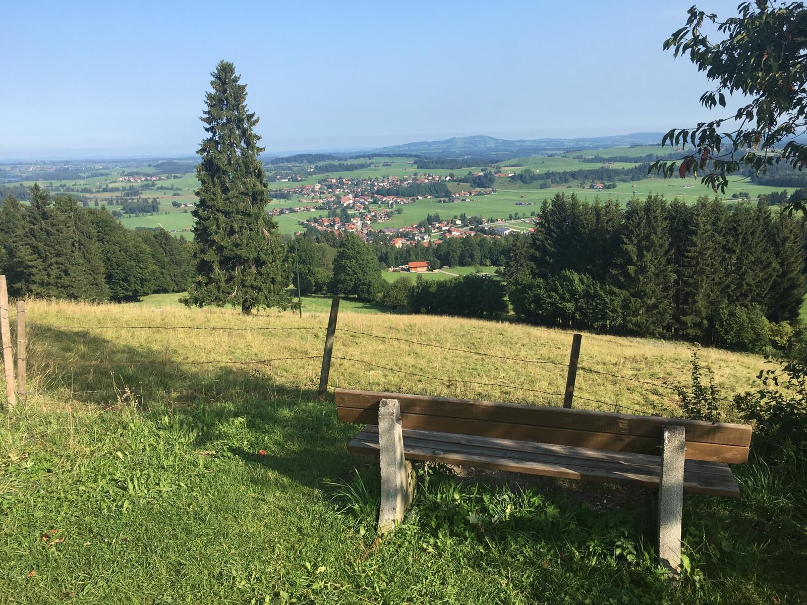
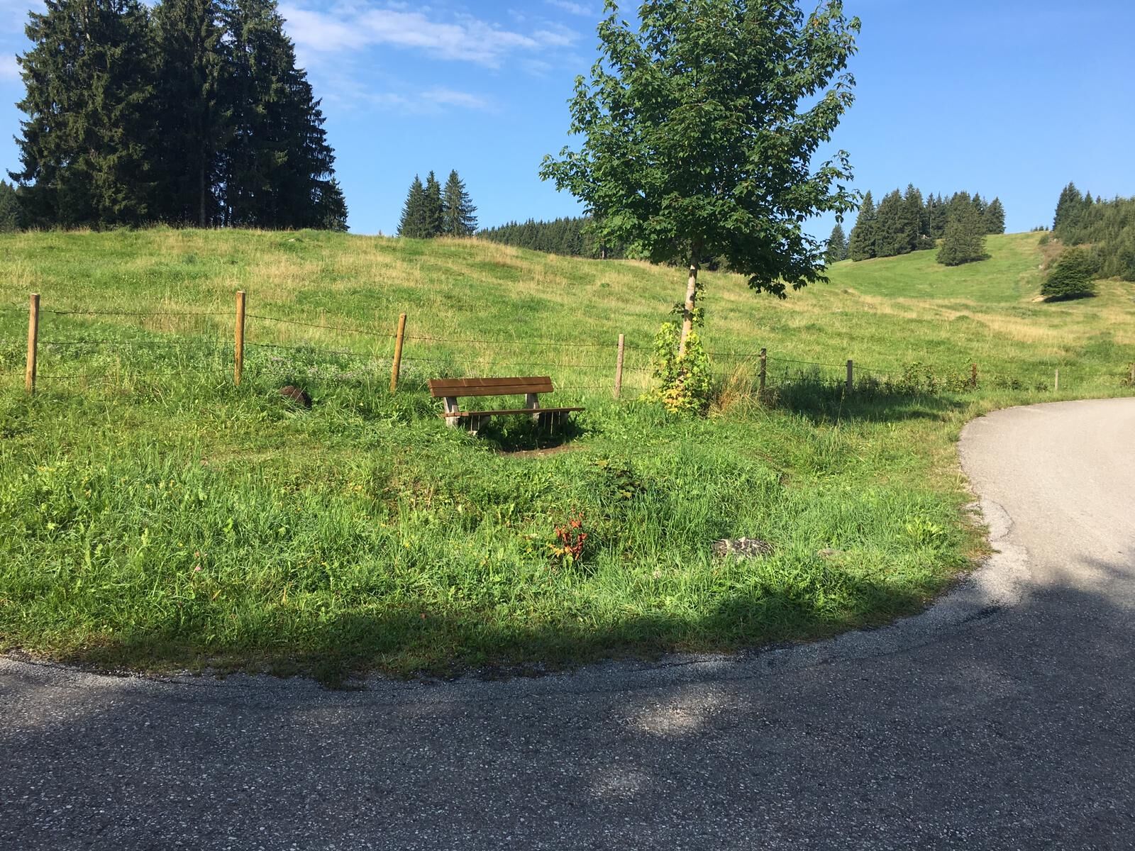
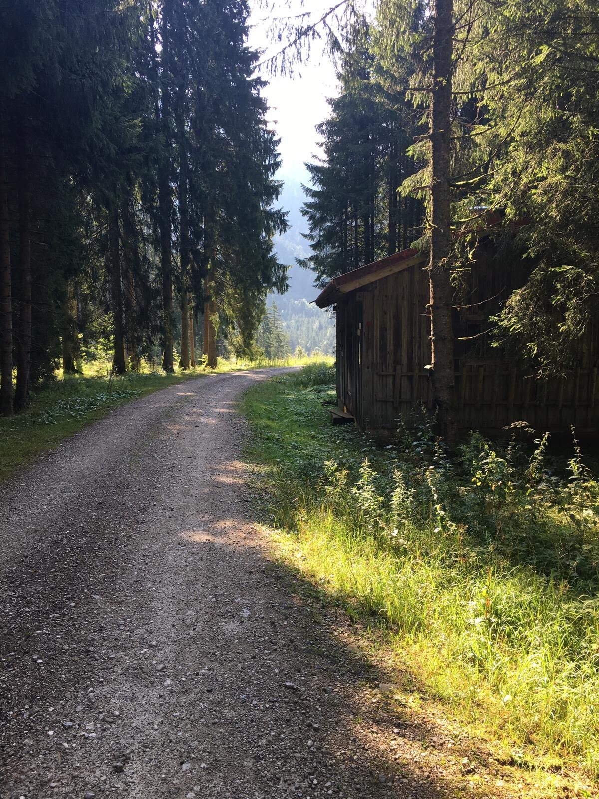
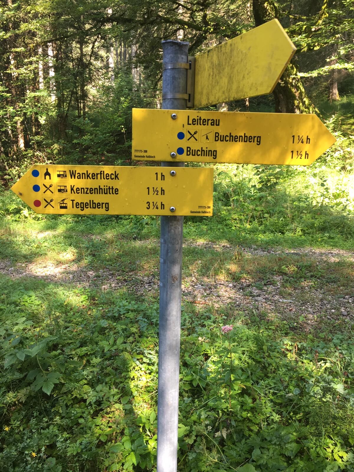
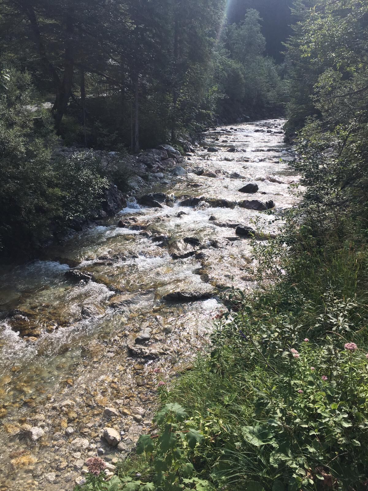
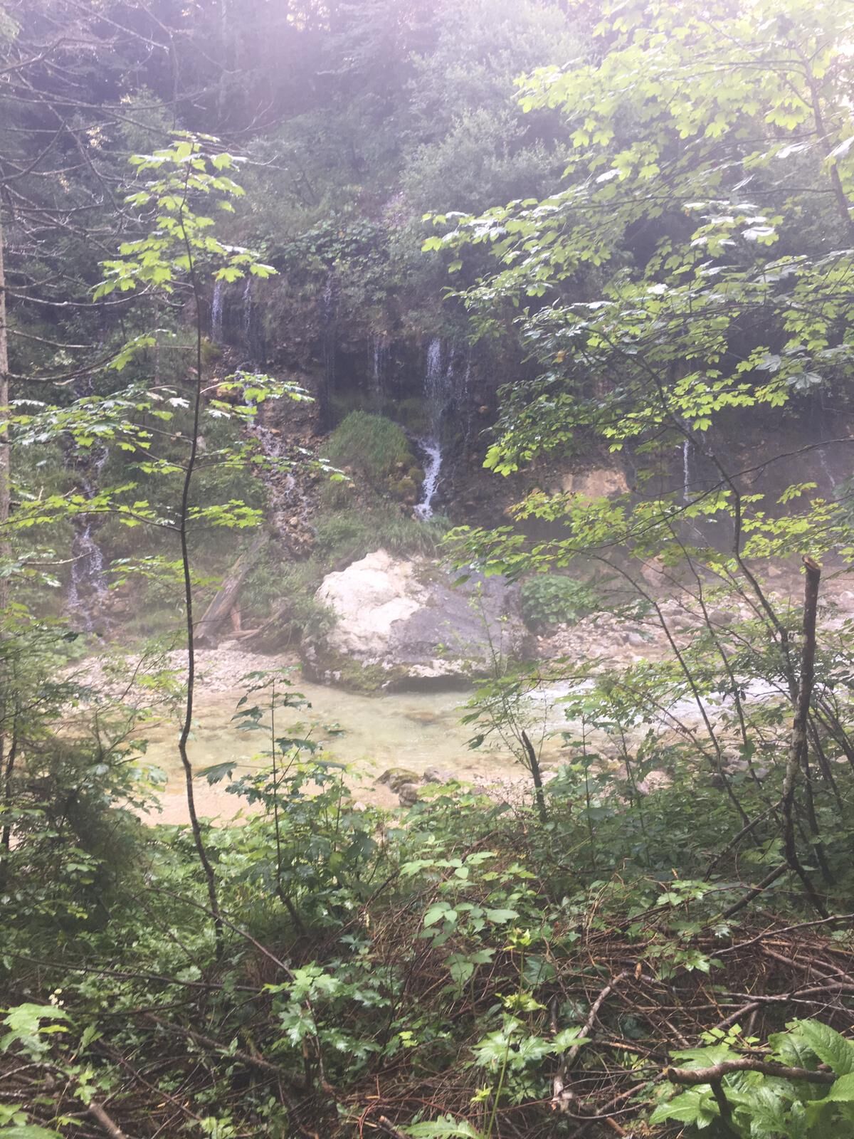
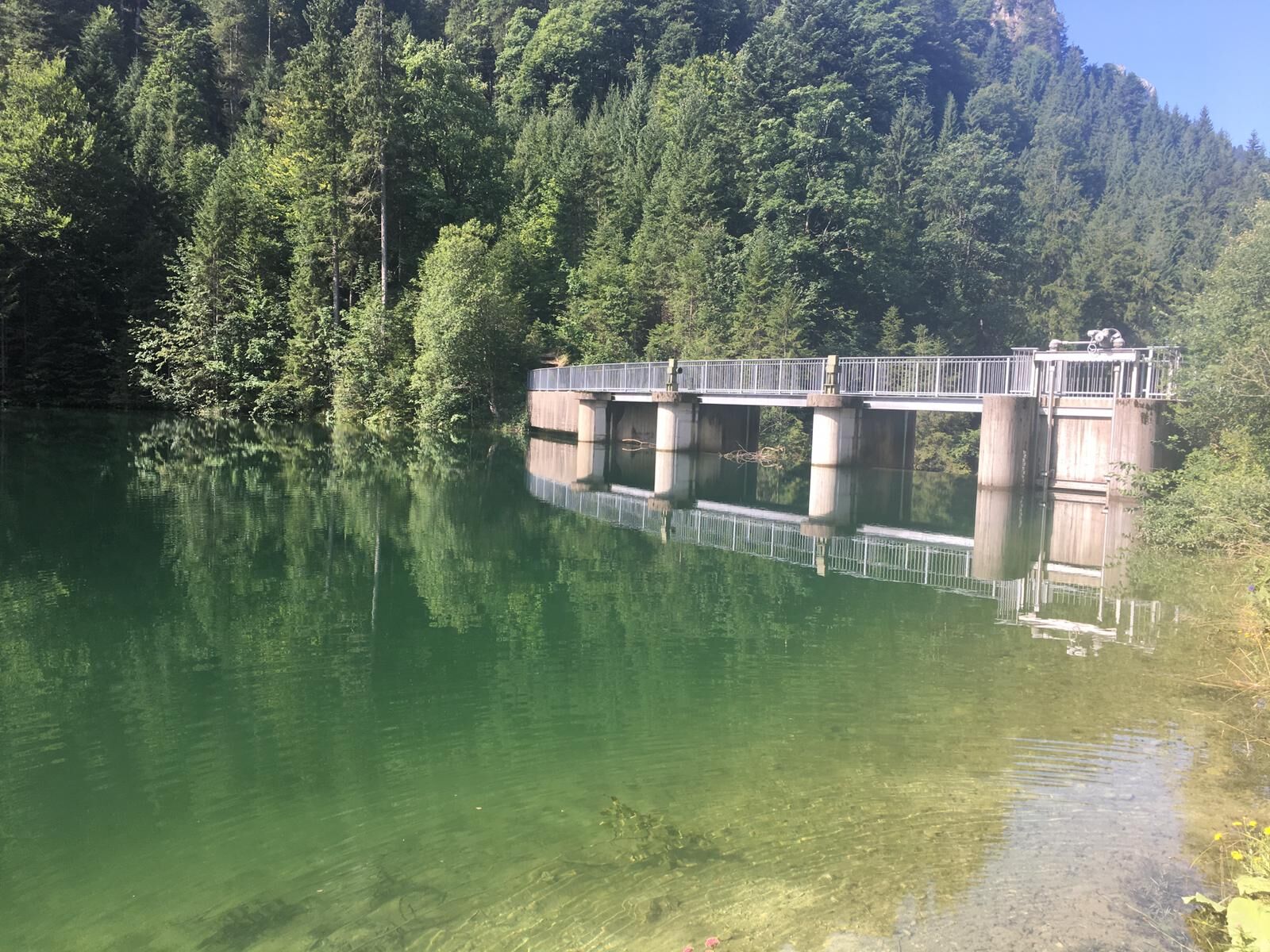
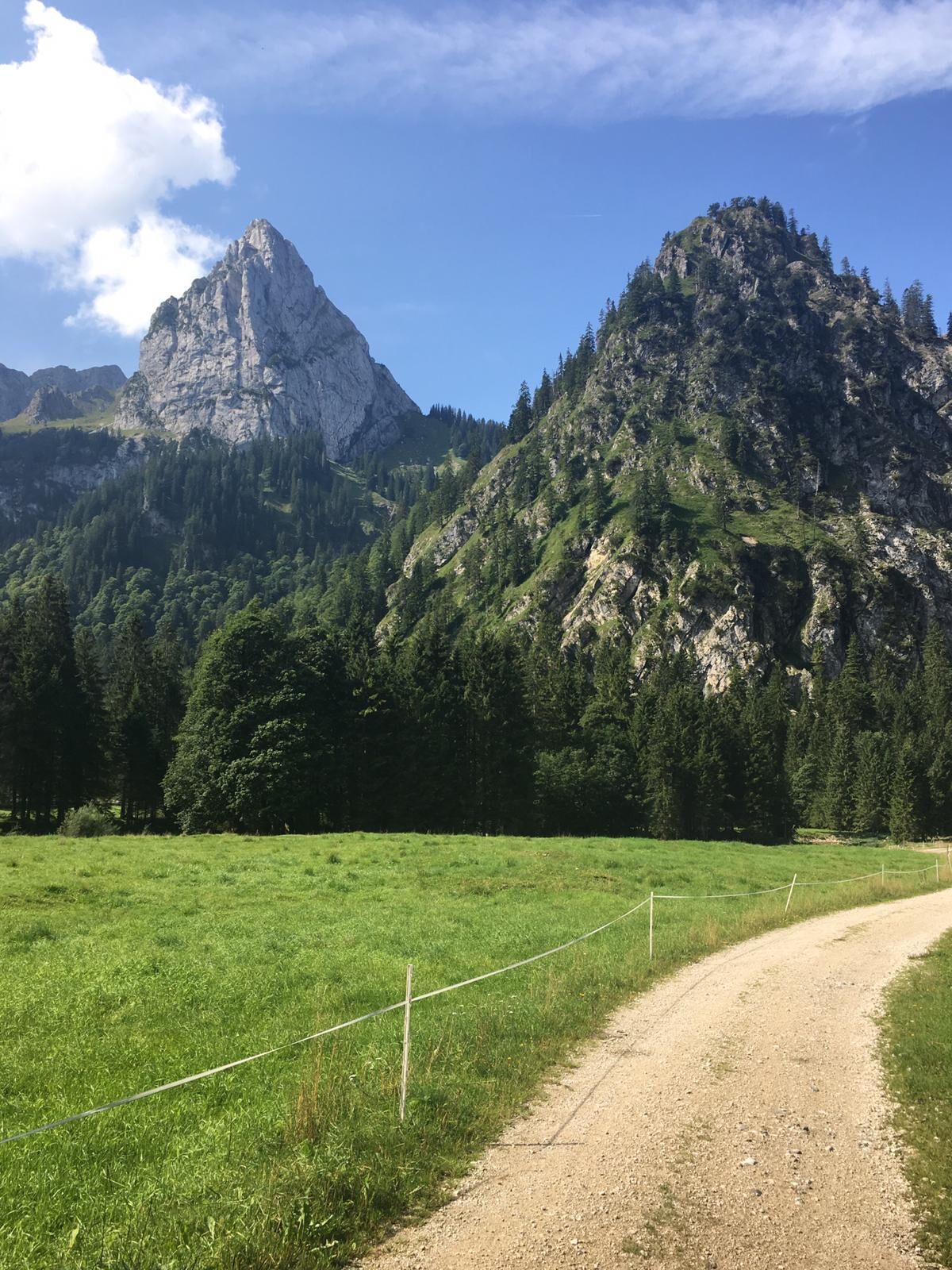
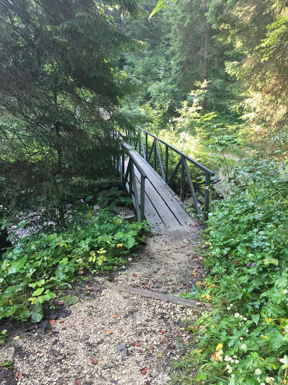
West of the valley Halblechtal is an extensive hiking area.
- Sværhedsgrad
-
medium
- Evaluering
-
- Rute
-
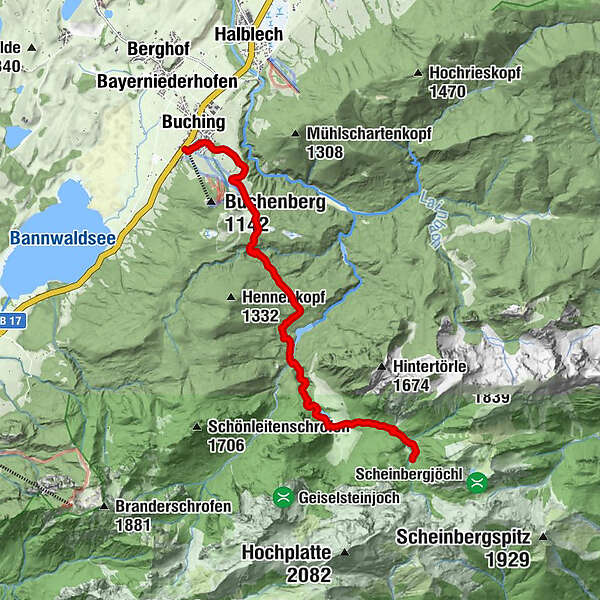
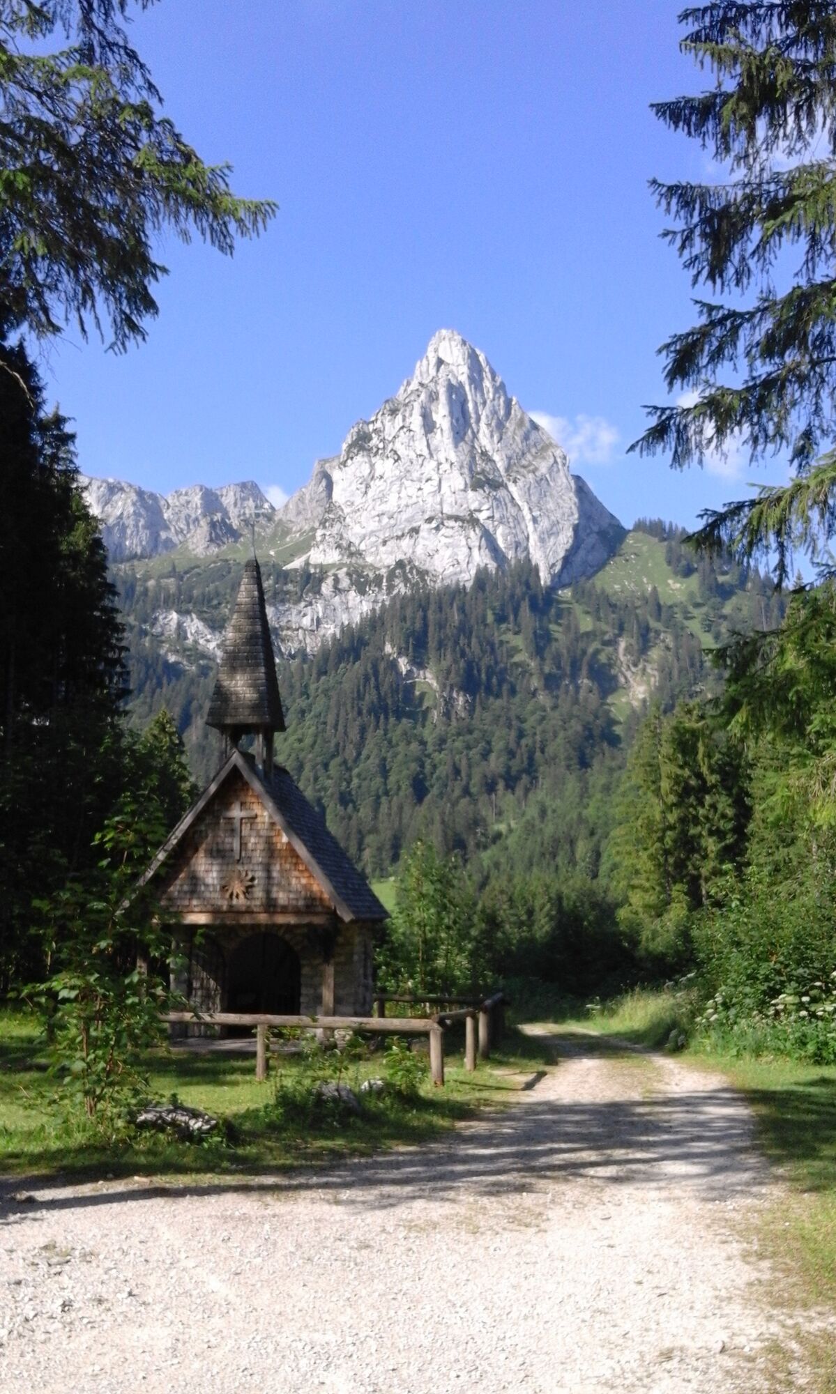
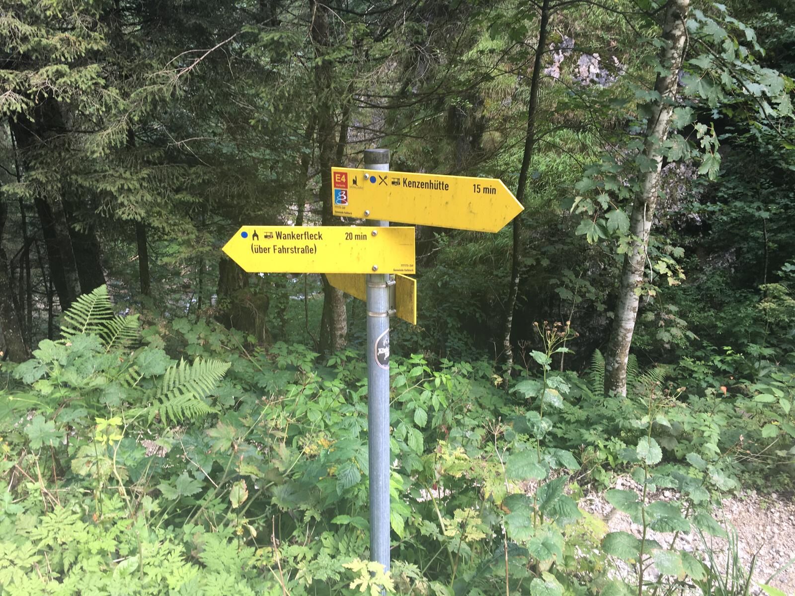
Buching (805 m)0,3 kmKapelle Wankerfleck7,8 kmKenzenhütte9,4 kmBerggasthof Kenzenhütte9,4 km
- Bedste sæson
-
janfebmaraprmajjunjulaugsepoktnovdec
- Højeste punkt
- 1.288 m
- Destination
-
Buchenberg cable car valley station
- Højdeprofil
-
 © outdooractive.com

- Forfatter
-
Rundvisningen From Buching to the Kenzen hut bruges af outdooractive.com forudsat.
GPS Downloads
Generel information
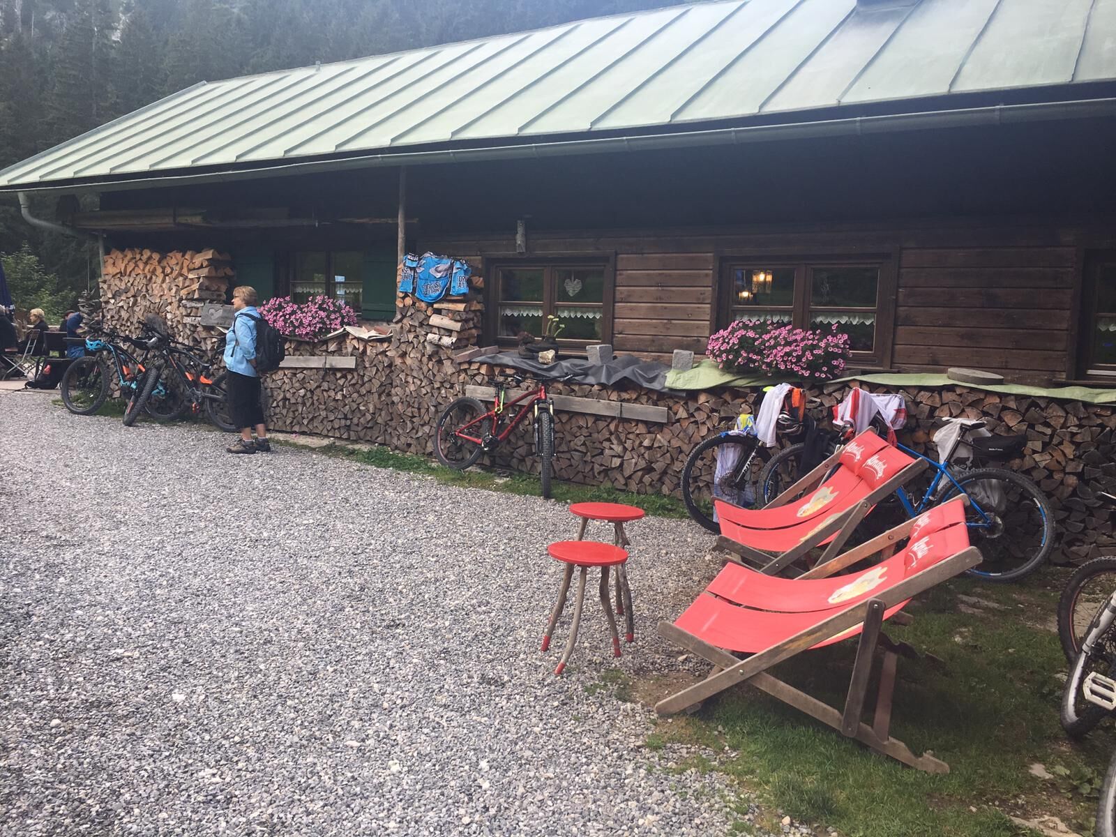
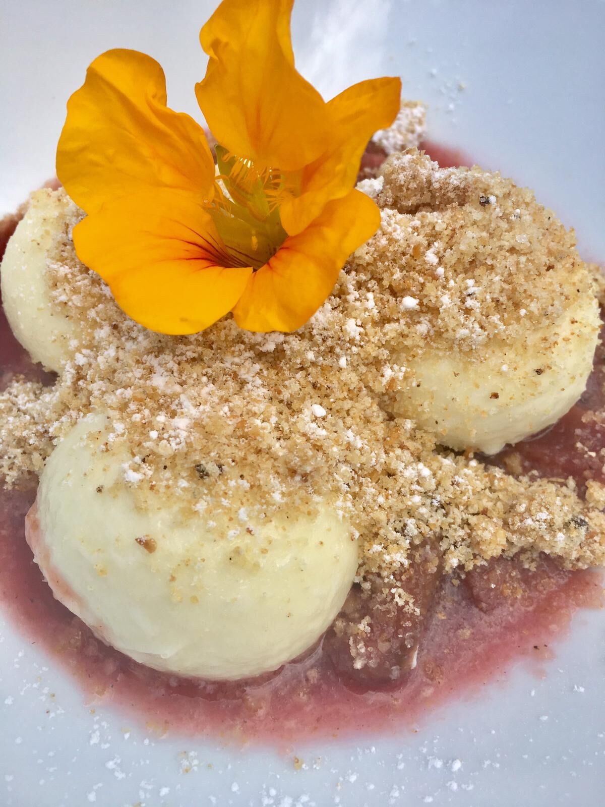
Forfriskningsstop
Insider-tip
Lovende
Flere ture i regionerne
-
Ostallgäu
1225
-
Halblech - Buching - Trauchgau
338