Via St. Martin Hütte on the Grasberg to the Königsstand

Trailrunning

© GaPa Tourismus GmbH - Annika Hack

© GaPa Tourismus GmbH - Annika Hack

© GaPa Tourismus GmbH - Annika Hack

© GaPa Tourismus GmbH - Annika Hack

© GaPa Tourismus GmbH - Benedikt Staubitzer

© GaPa Tourismus GmbH - Annika Hack

- Kort beskrivelse
-
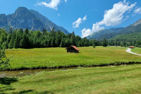
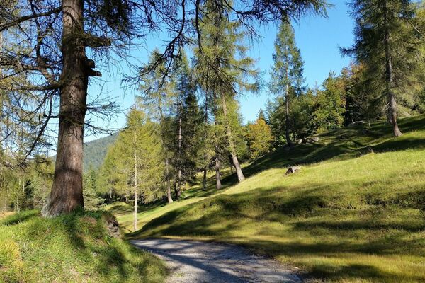
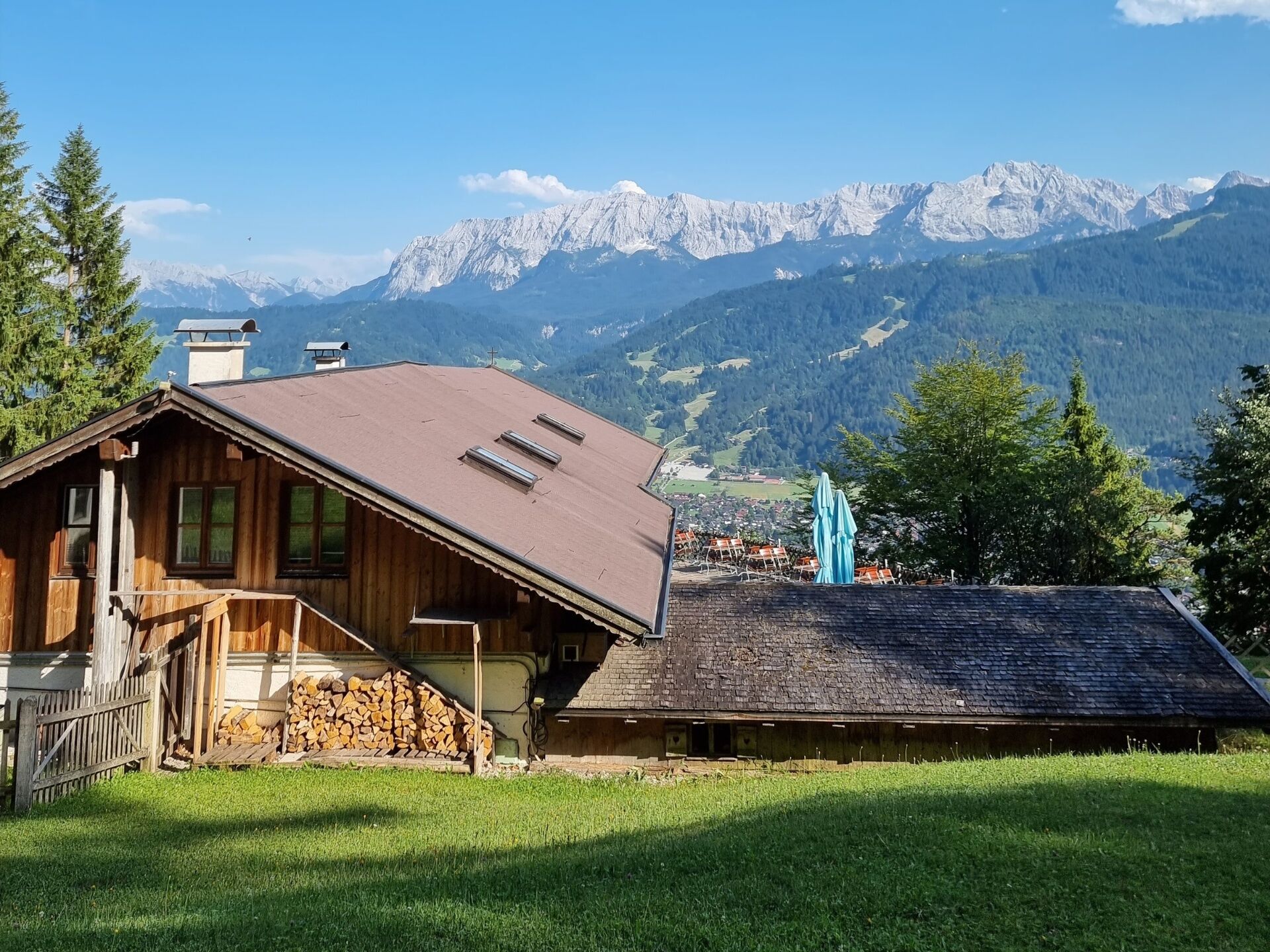
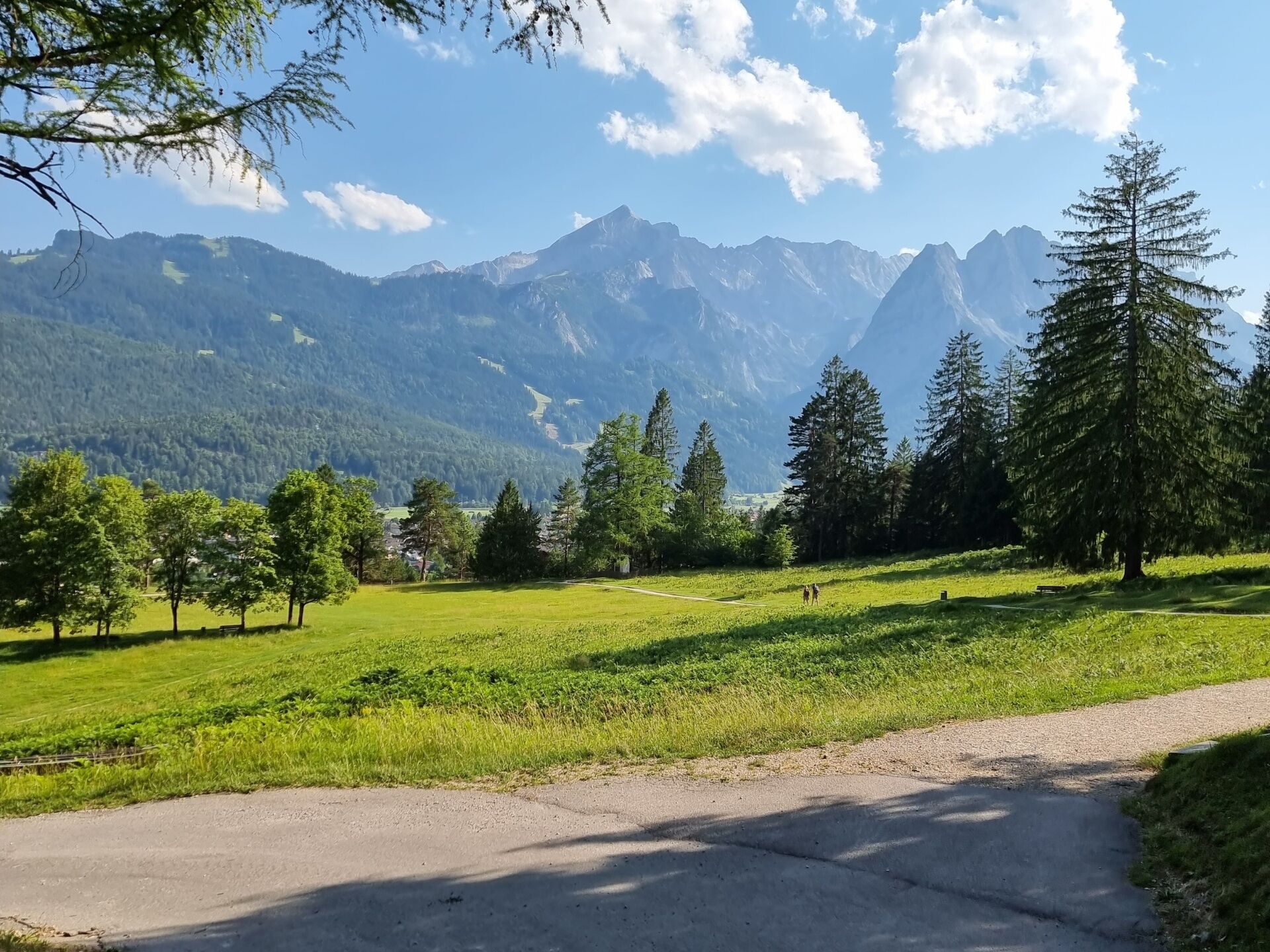
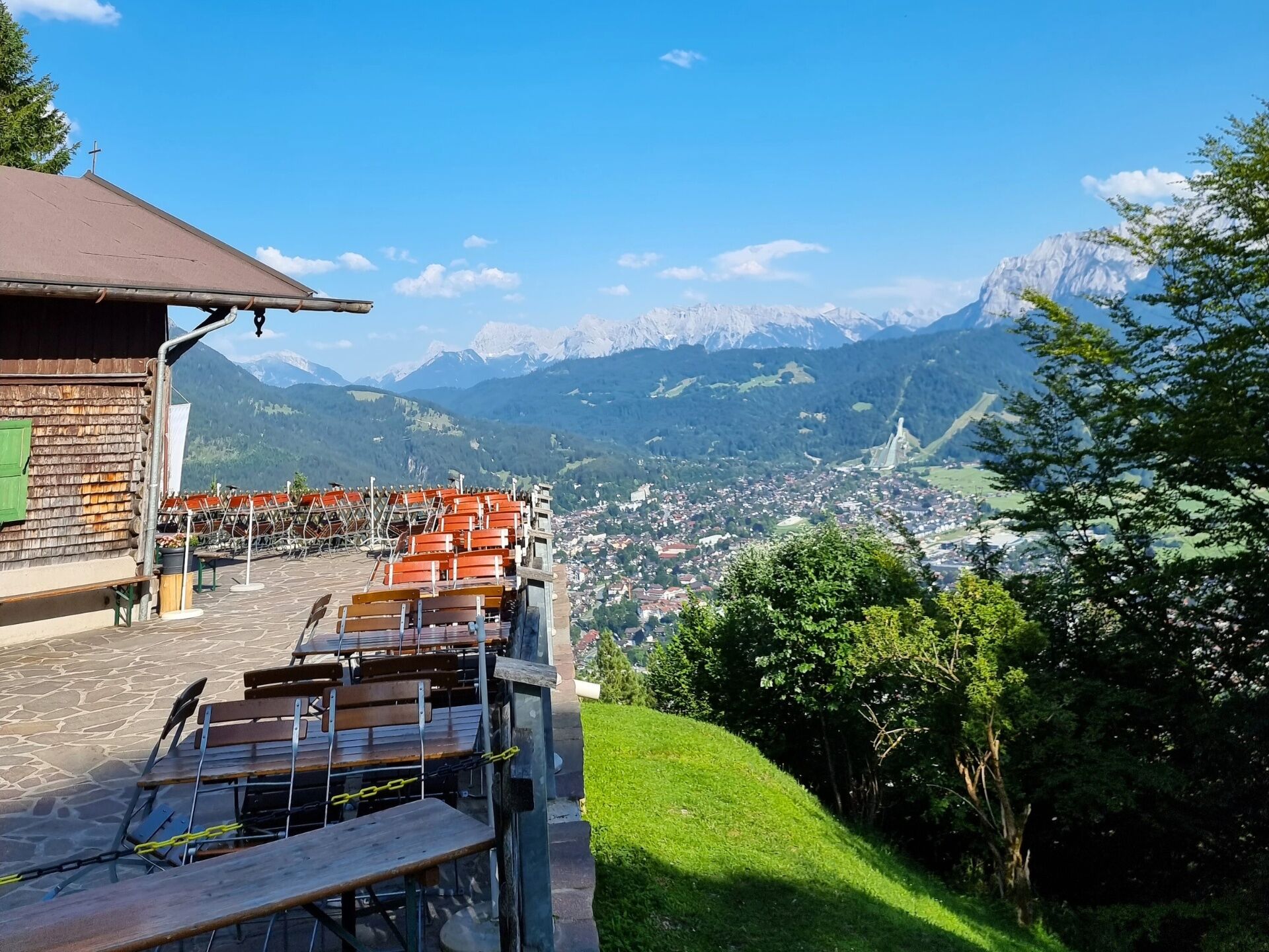
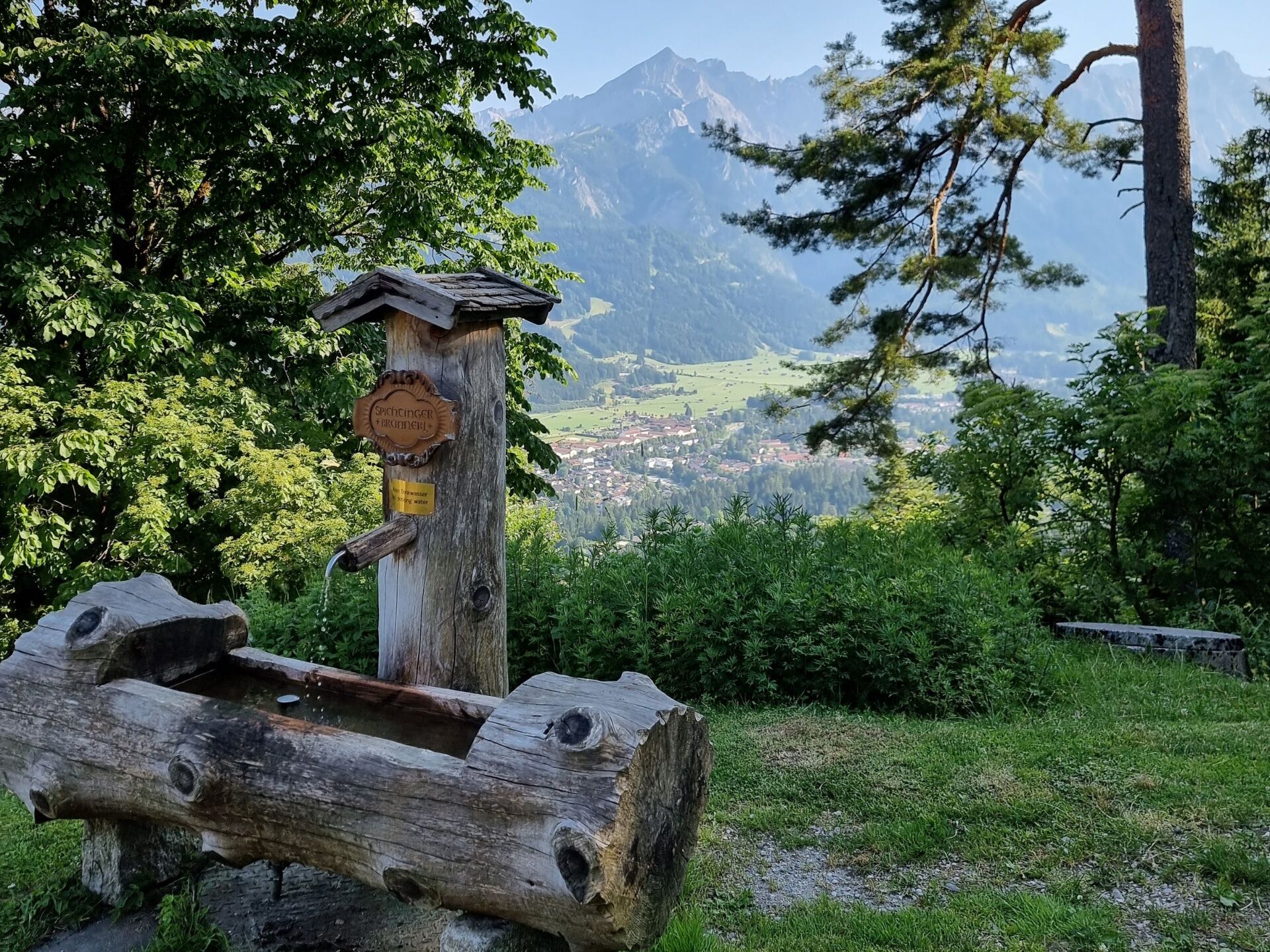
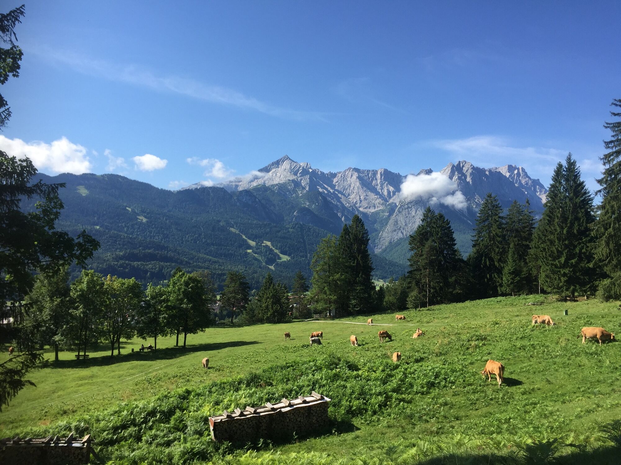
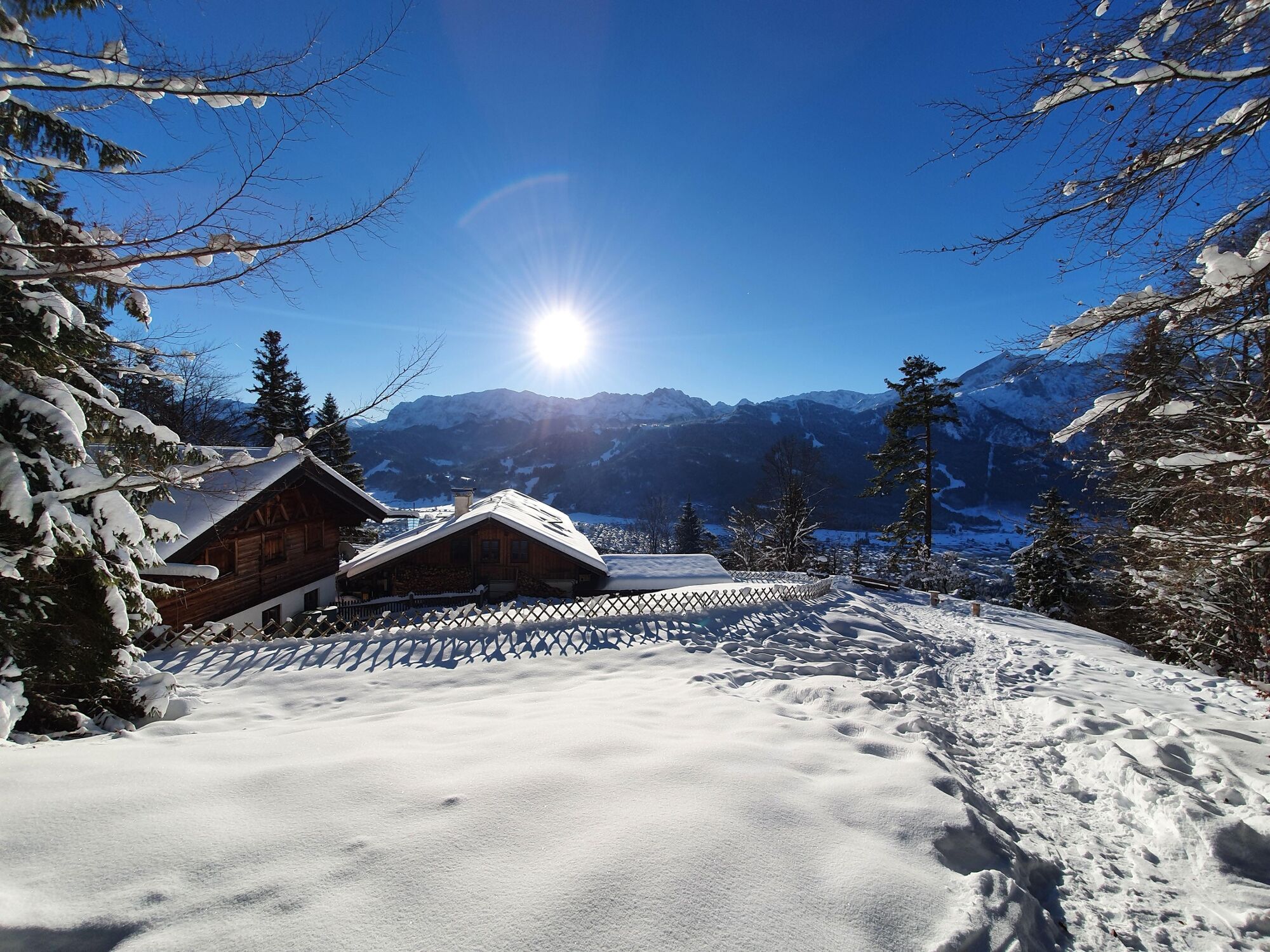
If you want to turn the Kramerplateau Trail into a somewhat sportier event, this is the route for you. The St.-Martin-Hütte offers one of the most beautiful views of Garmisch-Partenkirchen.
- Sværhedsgrad
-
medium
- Evaluering
-
- Rute
-
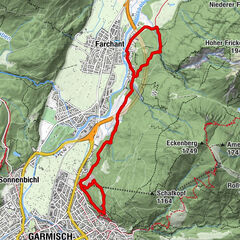
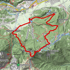
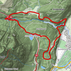
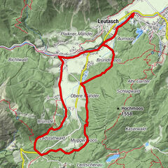
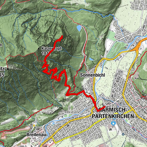
Garmisch-Partenkirchen (708 m)St. Martin am Grasberg3,7 kmFelsen-Kanzel5,1 kmKönigsstand (1.453 m)7,6 kmFelsen-Kanzel10,3 kmSt. Martin am Grasberg11,7 km
- Bedste sæson
-
janfebmaraprmajjunjulaugsepoktnovdec
- Højeste punkt
- 1.473 m
- Destination
-
Tourist Information Garmisch-Partenkirchen
- Højdeprofil
-
 © outdooractive.com
- Forfatter
-
Rundvisningen Via St. Martin Hütte on the Grasberg to the Königsstand bruges af outdooractive.com forudsat.
GPS Downloads


Generel information
Forfriskningsstop
Lovende
Flere ture i regionerne