- Kort beskrivelse
-
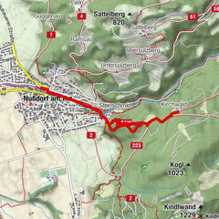
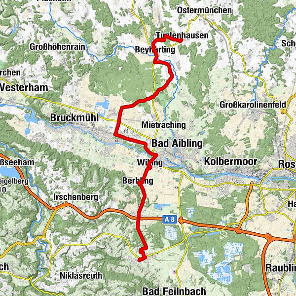
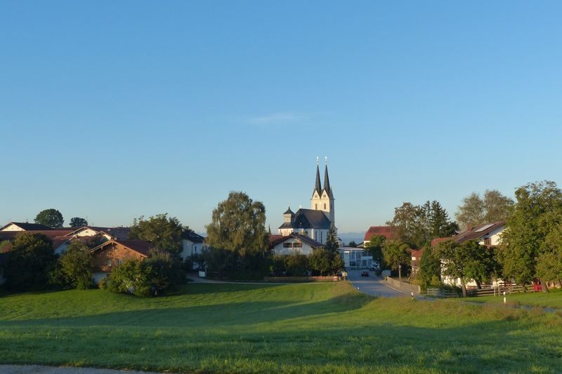
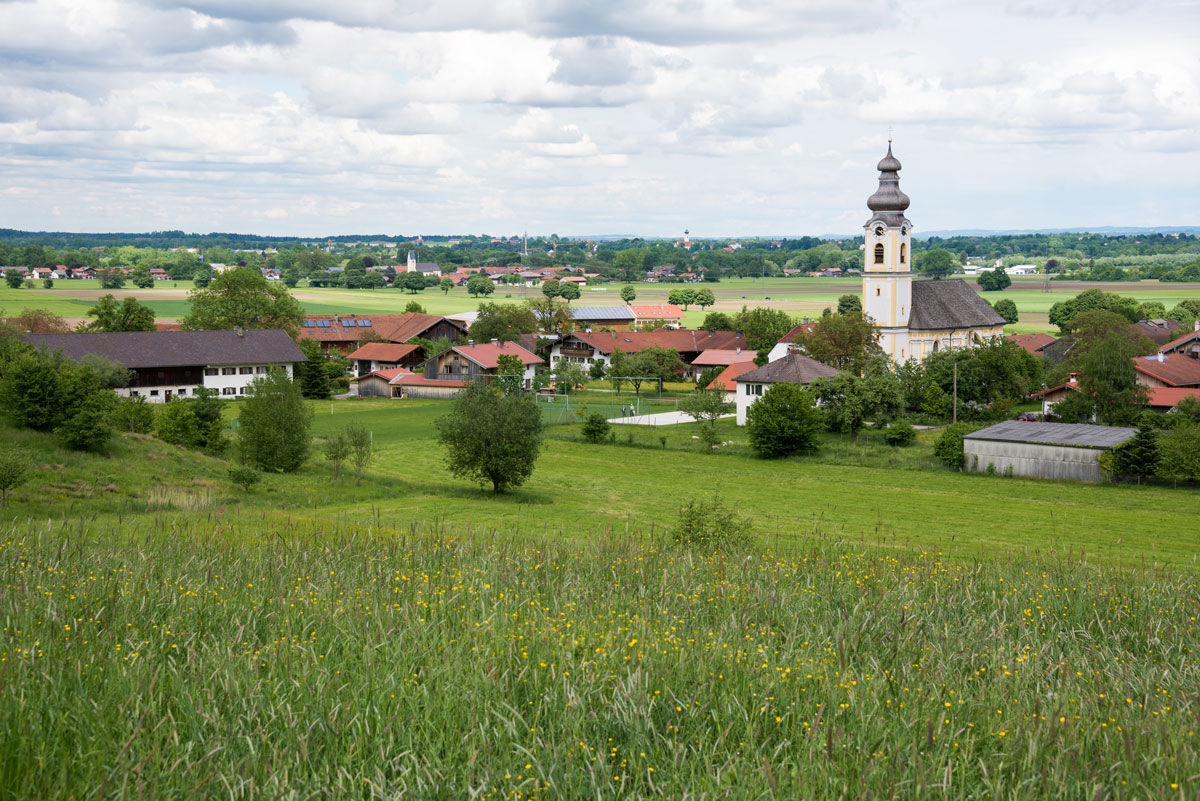
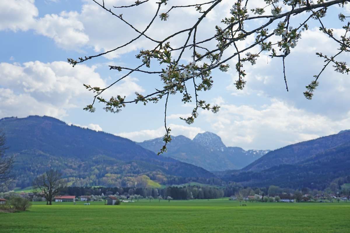
Eine idyllische Route von Tuntenhausen nach Au bei Bad Aibling...
- Sværhedsgrad
-
medium
- Evaluering
-
- Rute
-
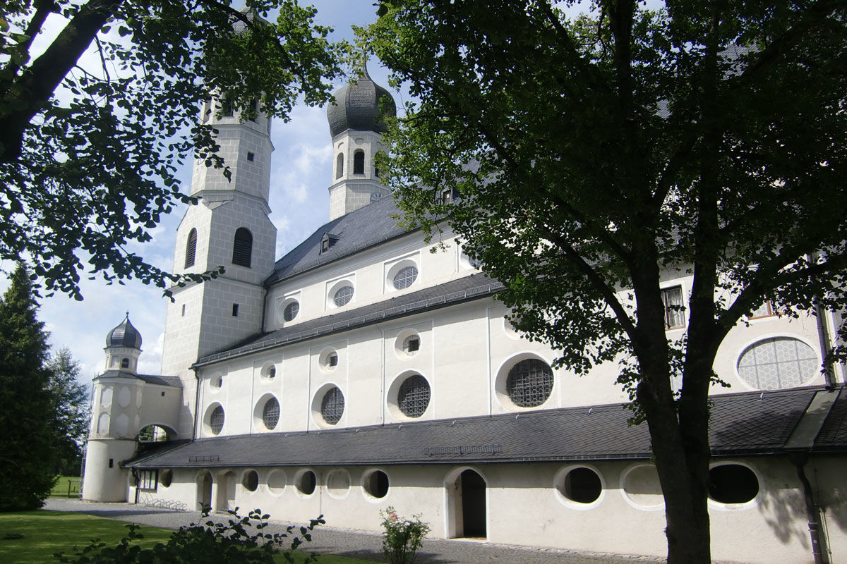
Tuntenhausen (508 m)St. Johann Baptist3,0 kmBeyharting3,2 kmKronbichl4,4 kmJakobsberg5,6 kmFischbach6,5 kmSchlosswirtschaft Maxlrain7,7 kmMaxlrain7,7 kmAich8,2 kmGasthaus Weihenlinden10,7 kmWallfahrtskirche Weihenlinden10,7 kmWeihenlinden10,7 kmHeufeld13,2 kmUnterheufeld14,7 kmBad Aibling (492 m)15,9 kmWilling16,6 kmSt. Jakobus17,1 kmBerbling18,2 kmHaslach19,5 kmDettendorf21,1 kmBerghalde23,8 kmGasthaus Lindenwirt24,4 kmTaxakapelle24,7 kmAu bei Bad Aibling25,2 km
- Bedste sæson
-
janfebmaraprmajjunjulaugsepoktnovdec
- Højeste punkt
- 514 m
- Destination
-
Au bei Bad Aibling
- Højdeprofil
-
 © outdooractive.com

-

-
ForfatterRundvisningen Marienwege M5 - Teilstrecke Tuntenhausen Au bei Bad Aibling bruges af outdooractive.com forudsat.
GPS Downloads


Generel information
Forfriskningsstop
Kulturel/Historisk
Lovende
Flere ture i regionerne
-
Oberbayern
370
-
Chiemsee - Alpenland
1212
-
Bad Aibling
81