- Kort beskrivelse
-
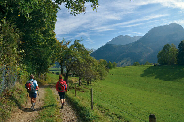
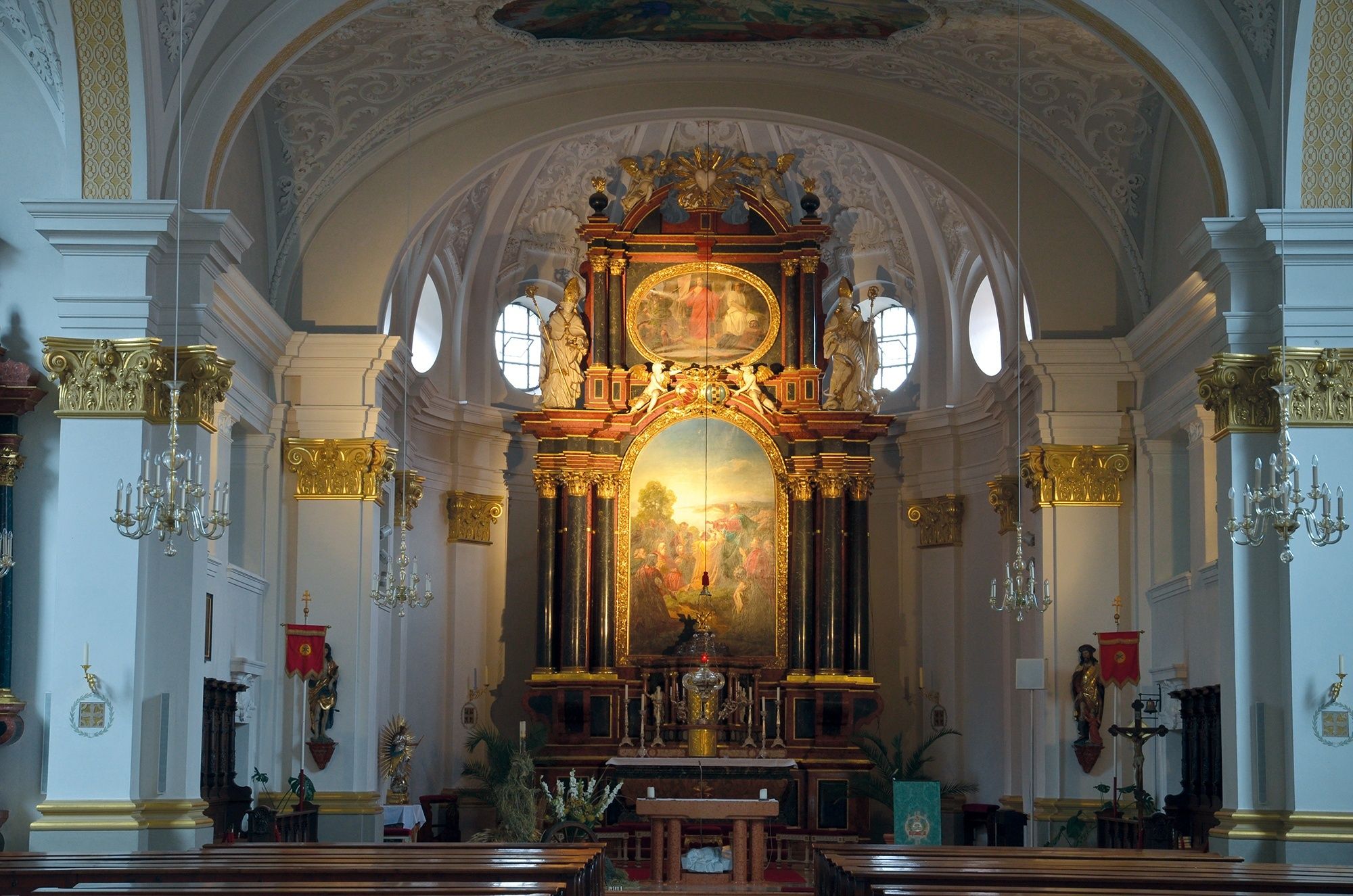
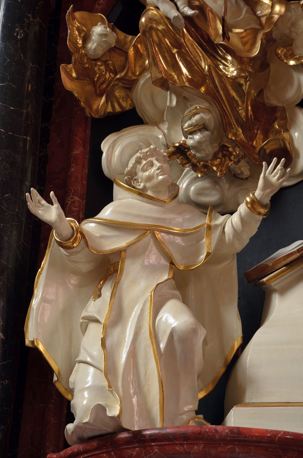
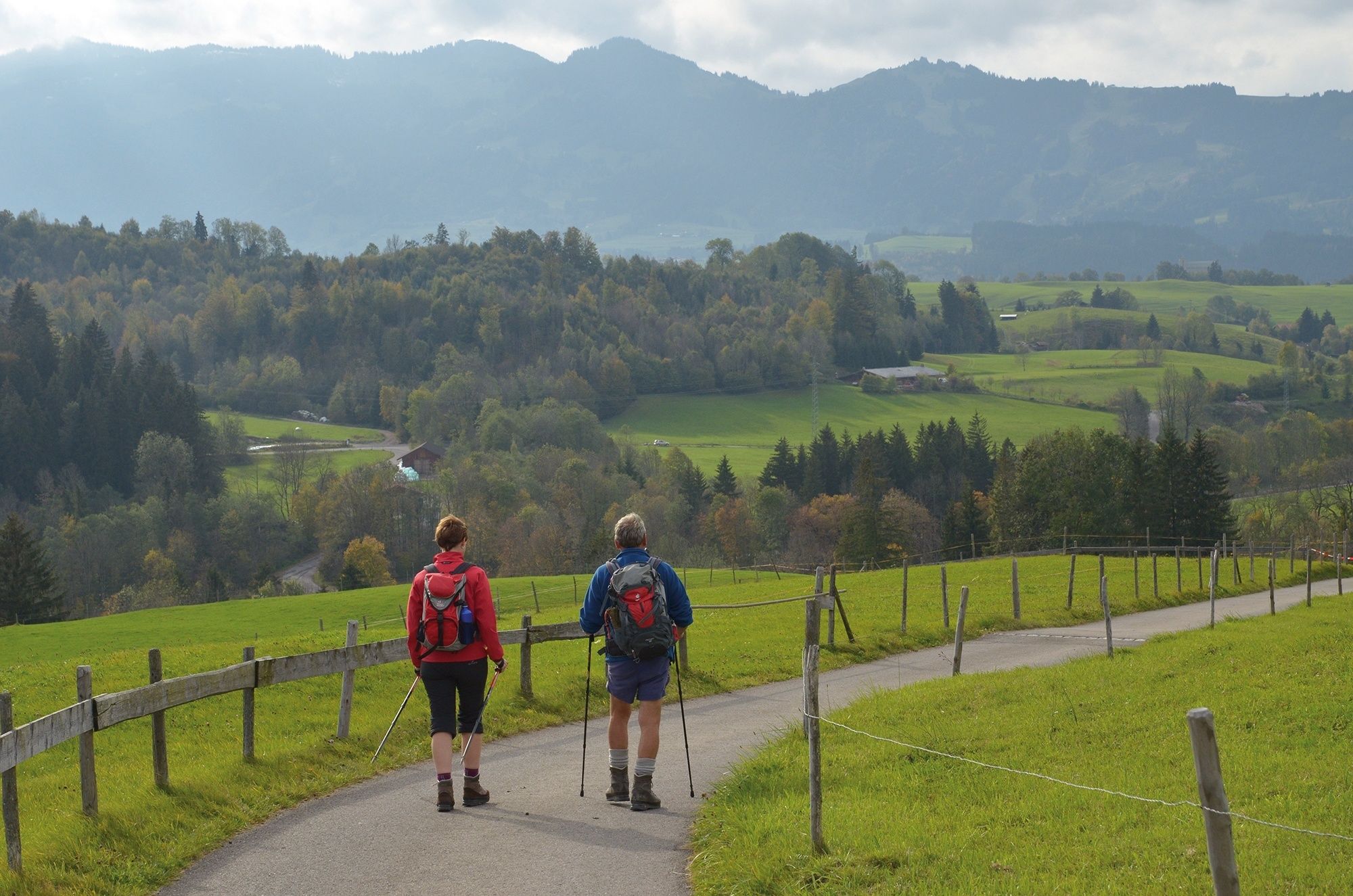
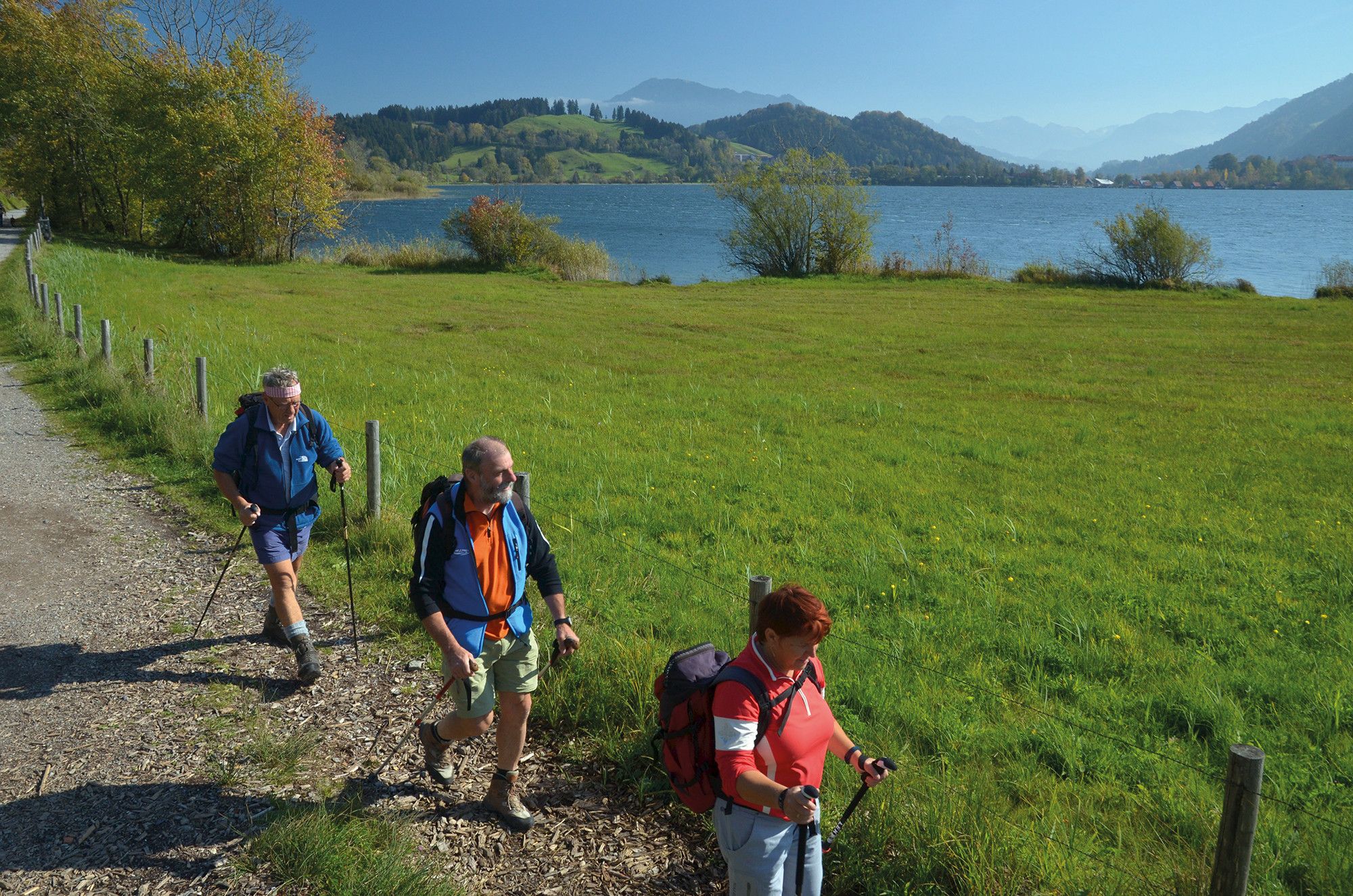
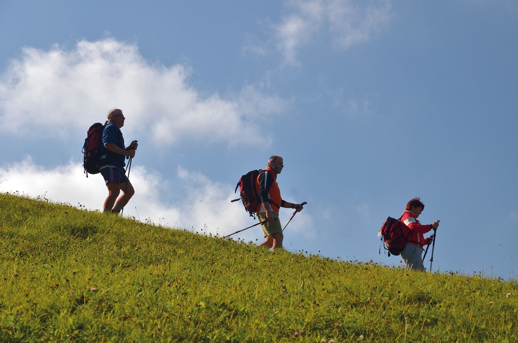
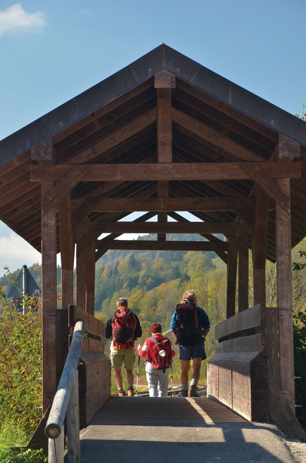
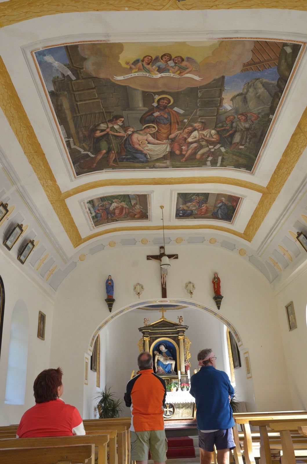
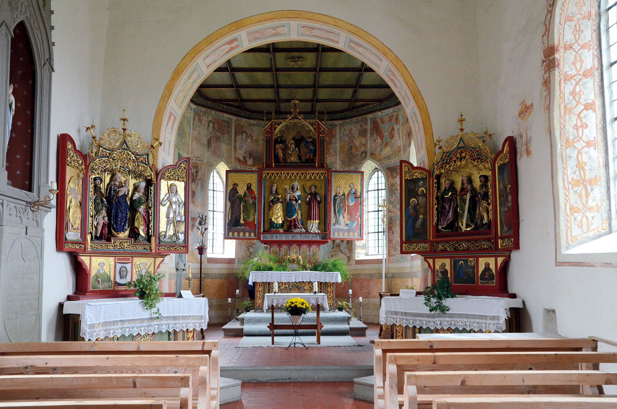
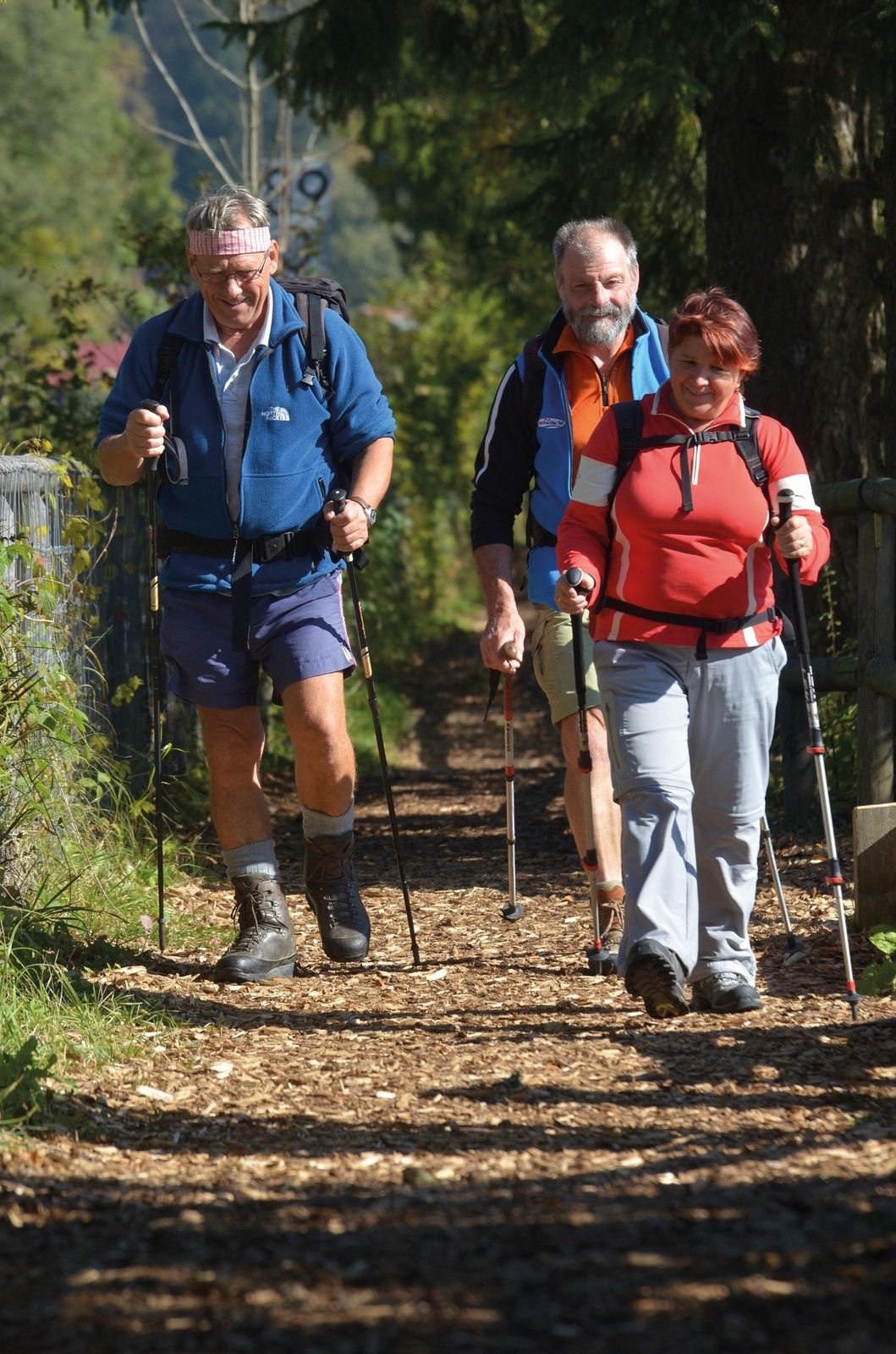
An enchanting end to the pilgrimage with wonderful lake and mountain views, magnificent old farmhouses and many art-historical surprises.
- Sværhedsgrad
-
medium
- Evaluering
-
- Rute
-
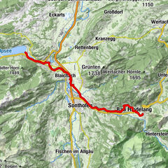
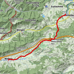
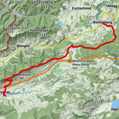
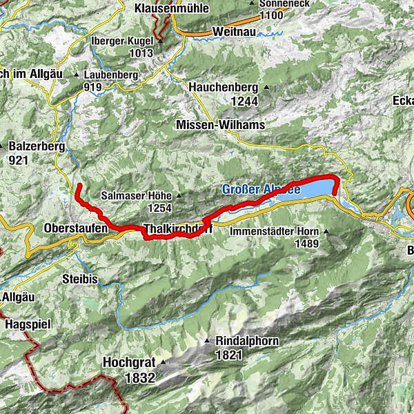
Bühl a.AlpseeTrieblings3,3 kmKonstanzer8,3 kmSt. Jakobus8,5 kmOsterdorf9,0 kmSt. Johannes Baptist10,1 kmThalkirchdorf10,2 kmDorfhaus10,2 kmSt. Georg12,9 kmKnechtenhofen13,2 kmWengen14,1 kmSt. Maria Immaculata15,3 kmKalzhofen15,3 kmBuflings16,5 kmZell17,0 km
- Bedste sæson
-
janfebmaraprmajjunjulaugsepoktnovdec
- Højeste punkt
- 838 m
- Destination
-
Oberstaufen - Zell
- Højdeprofil
-
 © outdooractive.com


- Forfatter
-
Rundvisningen St. James way Section 7 Immenstadt/Bühl - Oberstaufen/Zell bruges af outdooractive.com forudsat.
GPS Downloads


Generel information
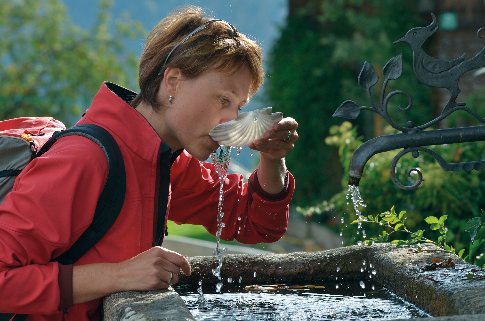
Forfriskningsstop
Kulturel/Historisk
Flora
Fauna
Lovende
Flere ture i regionerne
-
Allgäu
2362
-
Alpsee-Grünten
1694
-
Alpsee Bergwelt
601