© Rhön GmbH - Florian Trykowski
- Kort beskrivelse
-
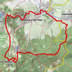
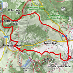
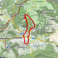
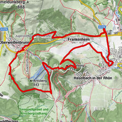
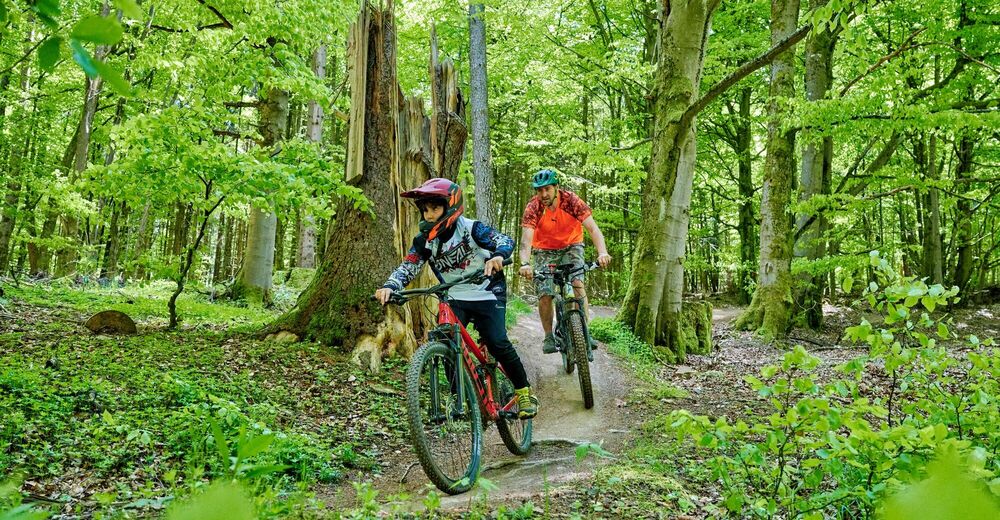
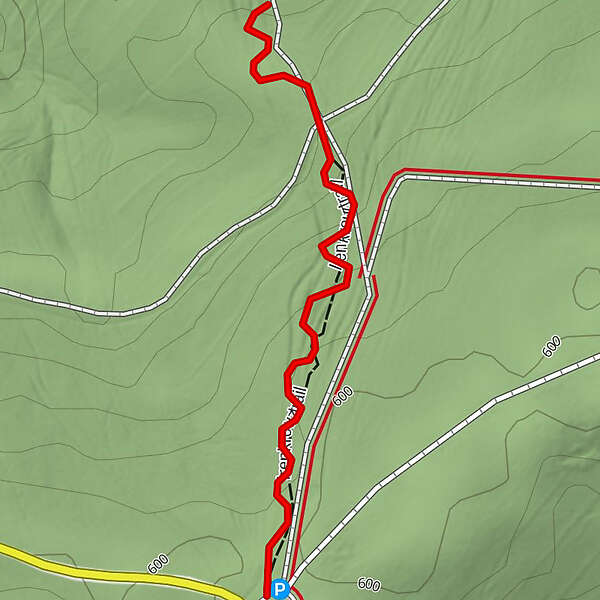
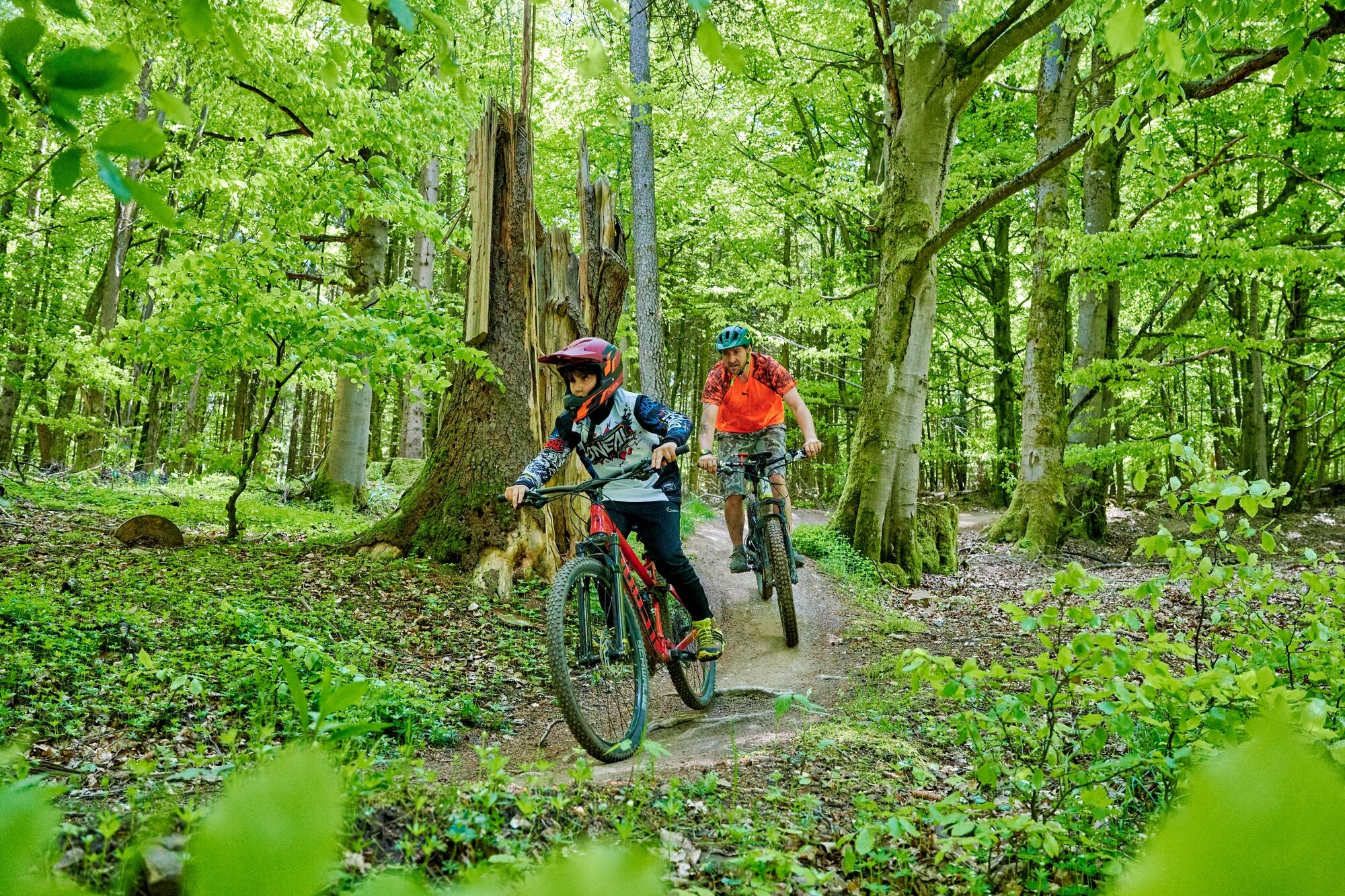
From the Irenkreuz hiking car park to the forest exit close to Unterweißenbrunn, the Irenkreuztrail leads down the mountain in flowing curves.
- Sværhedsgrad
-
medium
- Evaluering
-
- Bedste sæson
-
janfebmaraprmajjunjulaugsepoktnovdec
- Højeste punkt
- 586 m
- Destination
-
forest exit near Bischofsheim-Unterweißenbrunn
- Højdeprofil
-
 © outdooractive.com
-

-
ForfatterRundvisningen Flowtrail Irenkreuztrail - Bischofsheim - Rhön bruges af outdooractive.com forudsat.
GPS Downloads


Veje
Forsøg
Flere ture i regionerne