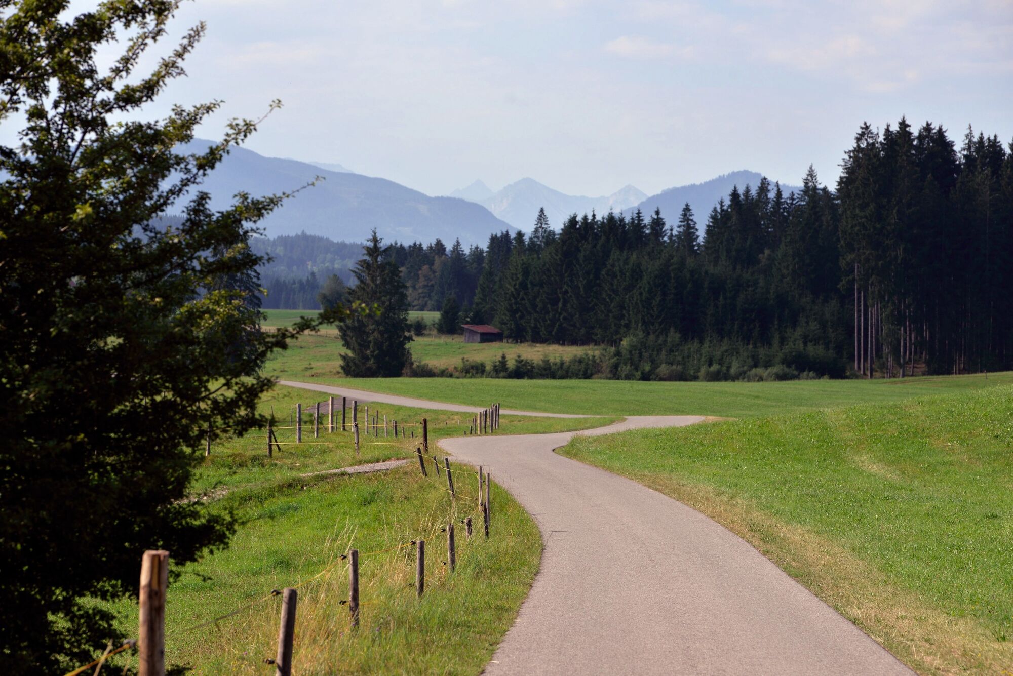
© Tourismusverband Ostallgäu e.V. - MS&P, Michael Schott

© Tourismusverband Ostallgäu e.V. - MS&P, Michael Schott

© Tourismusverband Ostallgäu e.V. - MS&P, Michael Schott

© Tourismusverband Ostallgäu e.V. - MS&P, Michael Schott

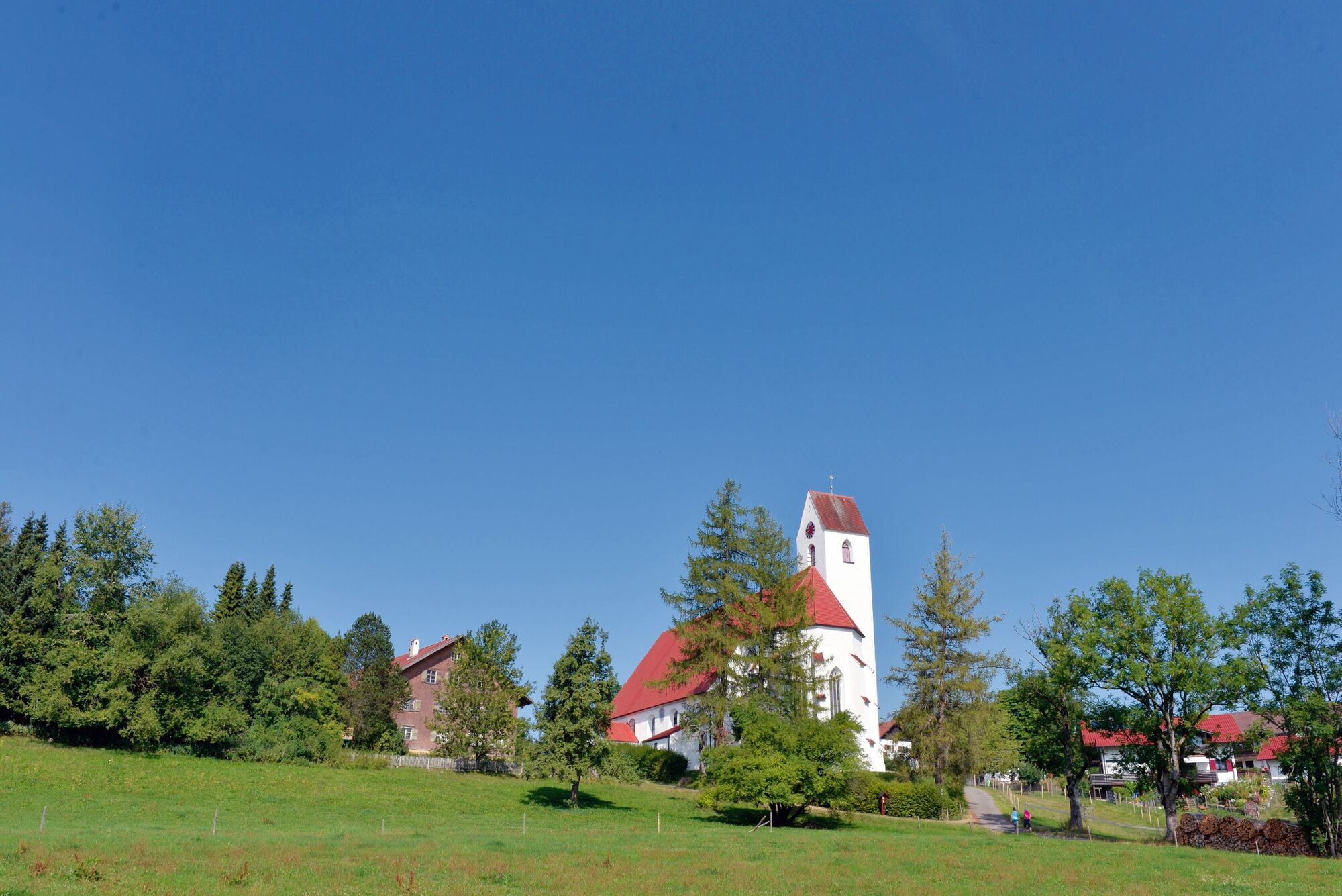
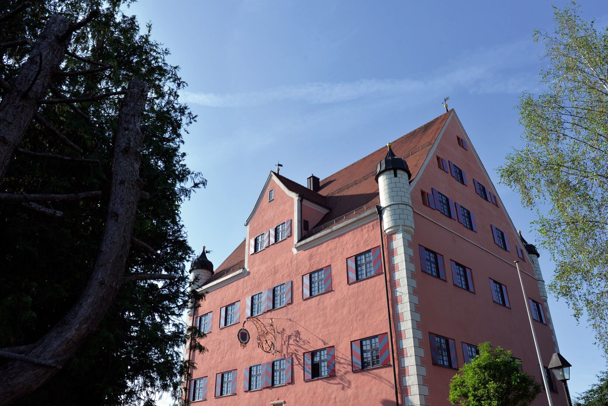
© Tourismusverband Ostallgäu e.V. - Peter von Felbert

© Tourismusverband Ostallgäu e.V. - Peter von Felberg

© Tourismusverband Ostallgäu e.V. - Peter von Felbert

© Tourismusverband Ostallgäu e.V. - Peter von Felbert

- Kort beskrivelse
-
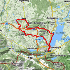
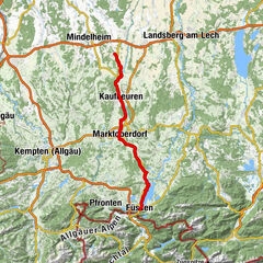
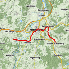
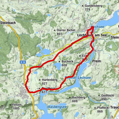
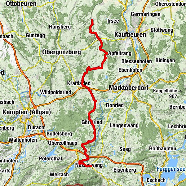
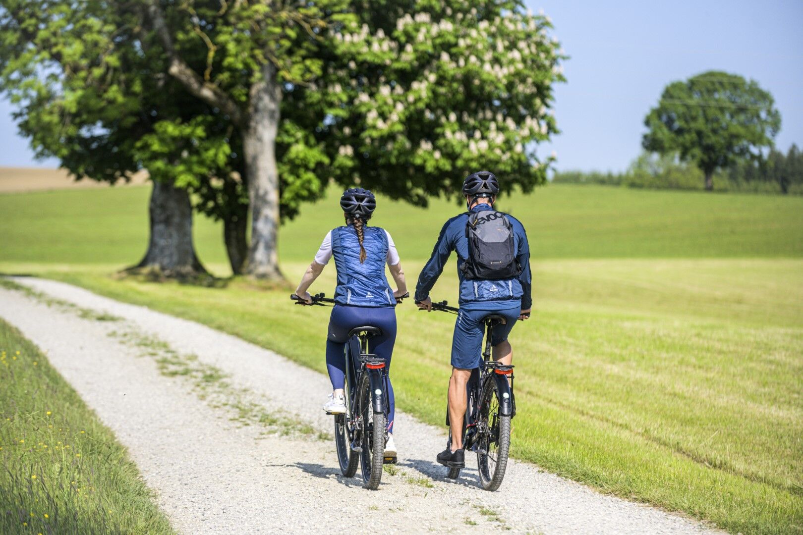
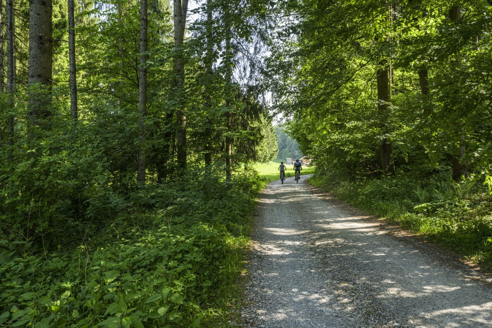
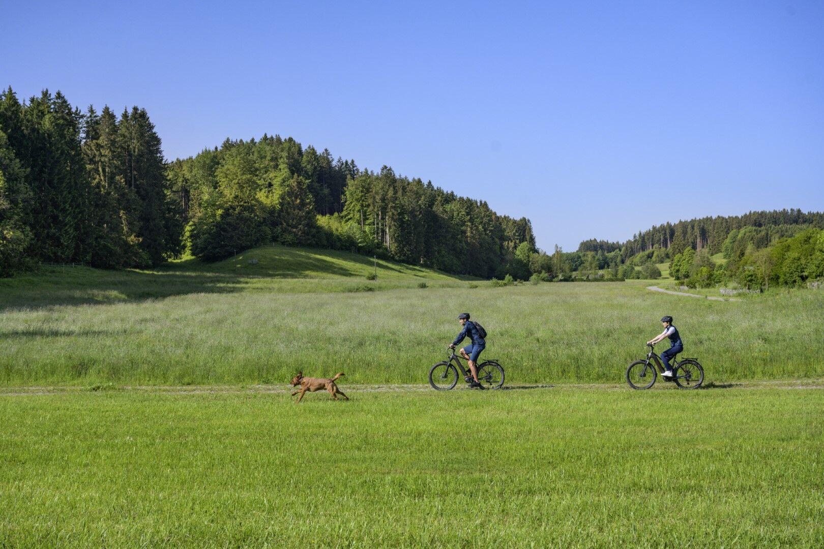
The Schlossparkradrunde in Allgäu is a quality cycle route with a length of approx. 219 km. The fourth section leads from Eggenthal to Nesselwang. You are out and about in the idyllic western Schlosspark.
- Rute
-
EggenthalSt. Wolfgang4,0 kmBlöcktach4,1 kmSankt Josef6,1 kmFriesenried6,2 kmSalenwang9,0 kmWenglingen12,4 kmGasthof Ziegerer14,8 kmAitrang15,2 kmKrähberg16,8 kmBüchel22,3 kmSt. Anna22,6 kmReinhardsried22,7 kmGasthof Adler25,8 kmUnterthingau (821 m)25,8 kmOberthingau28,2 kmGörisried34,5 kmMediterrano34,6 kmGasthof zum Hirsch34,6 kmSankt Oswald34,6 kmKapelle St. Ursula35,8 kmSt. Peter37,0 kmStadels37,1 kmWildberg38,3 kmSt. Sebastian38,6 kmBachtel43,6 kmHeilige-Drei-König43,7 kmStich44,1 kmMaria-Rain45,5 kmWallfahrtskirche Hl. Kreuz45,6 kmRainen46,1 kmDohle48,3 kmGschwend49,3 kmKapelle St. Joseph49,4 kmIm Gern49,9 kmOberer Markt50,7 kmPfarrkirche St. Andreas50,8 kmNesselwang50,9 kmAm Mühlbach51,0 kmMittlerer Markt51,1 kmEntenmoos51,3 kmHörtnagl51,5 km
- Bedste sæson
-
janfebmaraprmajjunjulaugsepoktnovdec
- Højeste punkt
- 928 m
- Destination
-
Nesselwang
- Højdeprofil
-
 © outdooractive.com
- Forfatter
-
Rundvisningen Schlossparkradrunde im Allgäu - Section 4 bruges af outdooractive.com forudsat.