

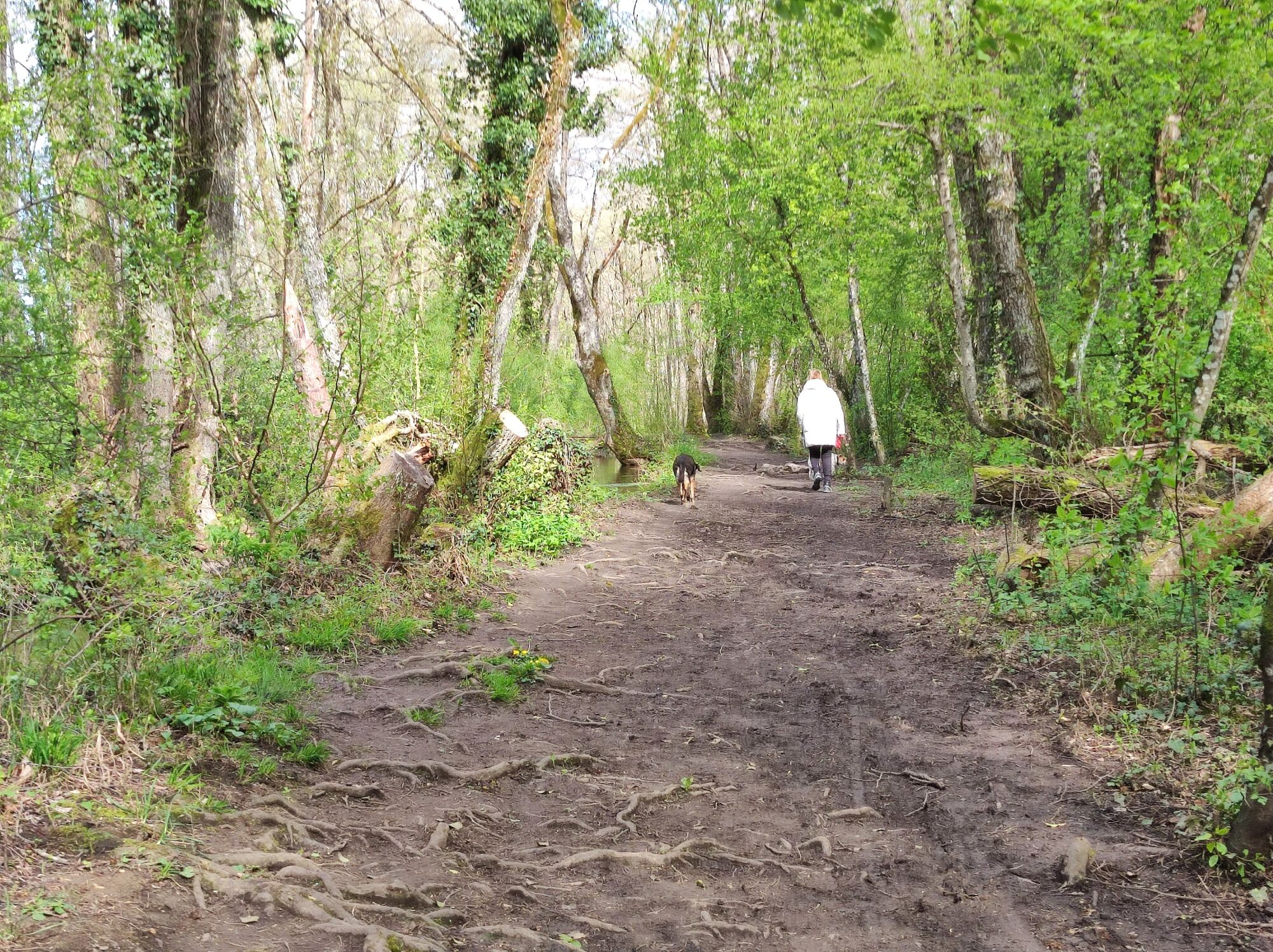
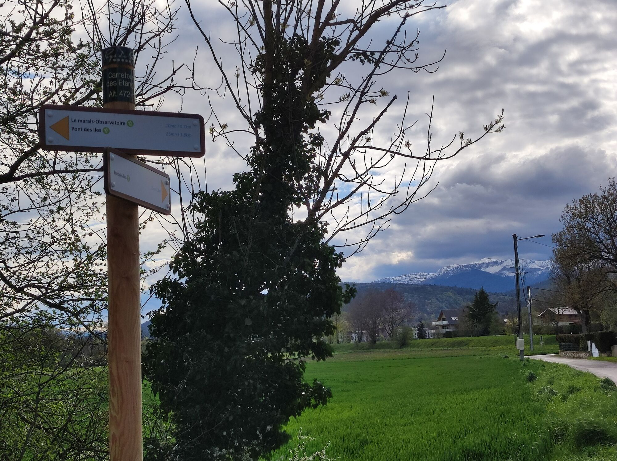
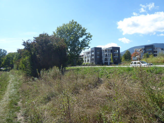
© Pays de Gex et sa Station Monts Jura - Anne-Marie Barbe

© Pays de Gex et sa Station Monts Jura - Anne-Marie Barbe

© Pays de Gex et sa Station Monts Jura - Anne-Marie Barbe

© Pays de Gex et sa Station Monts Jura - Anne-Marie Barbe

© Pays de Gex et sa Station Monts Jura - Anne-Marie Barbe

© Pays de Gex et sa Station Monts Jura - Anne-Marie Barbe

© Pays de Gex et sa Station Monts Jura - Anne-Marie Barbe

© Pays de Gex et sa Station Monts Jura - Anne-Marie Barbe

© Pays de Gex et sa Station Monts Jura - Anne-Marie Barbe

© Pays de Gex et sa Station Monts Jura - Anne-Marie Barbe

- Kort beskrivelse
-
Since 1265, the Coppet or "Crans" canal has carried part of the water from the Versoix ( Divonne's name in Switzerland) to the Boggy and Commugny communes.
- Sværhedsgrad
-
let
- Evaluering
-
- Rute
-
Divonne-les-BainsPain Loup1,8 kmDivonne-les-Bains2,8 km
- Bedste sæson
-
janfebmaraprmajjunjulaugsepoktnovdec
- Højeste punkt
- 474 m
- Destination
-
Divonne les Bains
- Højdeprofil
-
 © outdooractive.com


-

-
ForfatterRundvisningen Family hike : Divonne les Bains - Le Marais des Bidonnes bruges af outdooractive.com forudsat.
GPS Downloads


Generel information
Helbredende klima
Flora
Flere ture i regionerne
-
Haute-Savoie
865
-
Nyon Region
208
-
Crassier
78