
- Kort beskrivelse
-
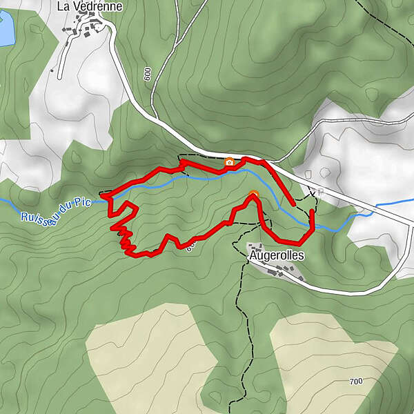
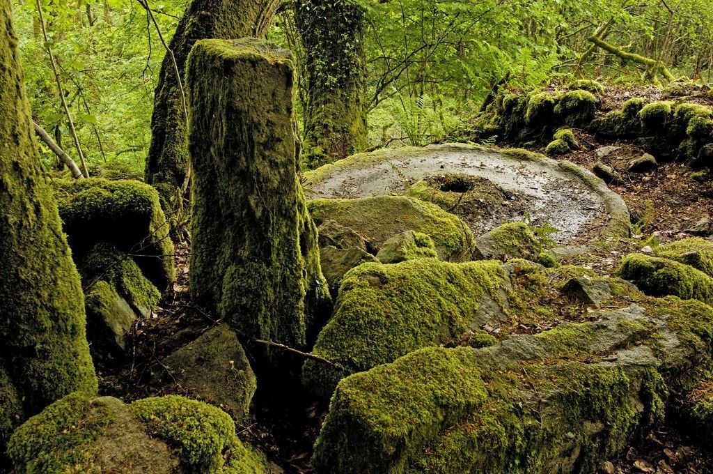
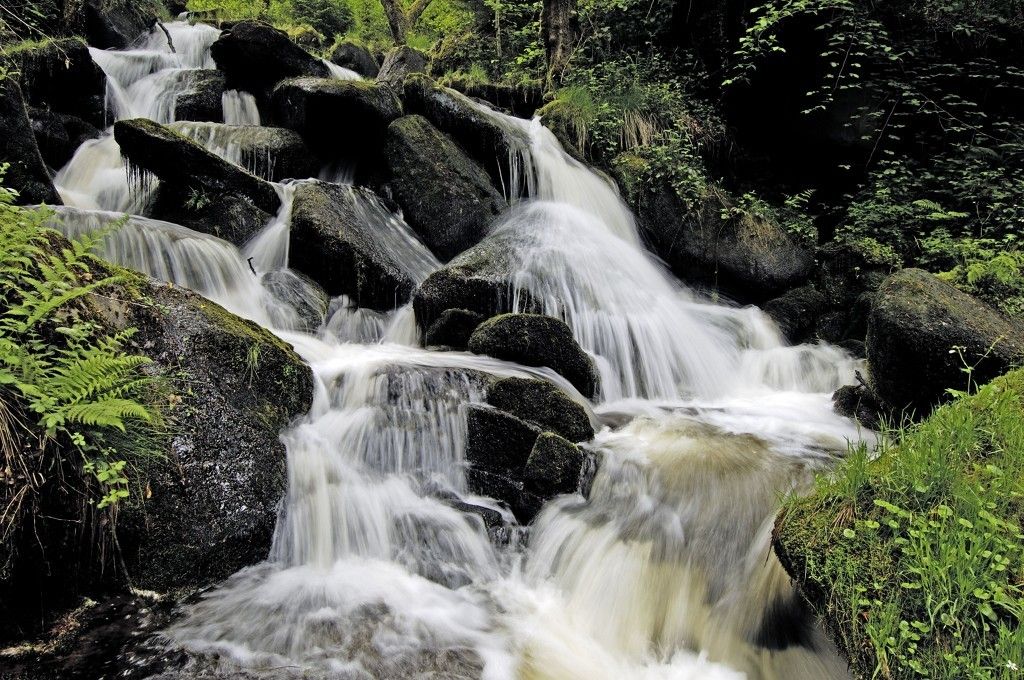
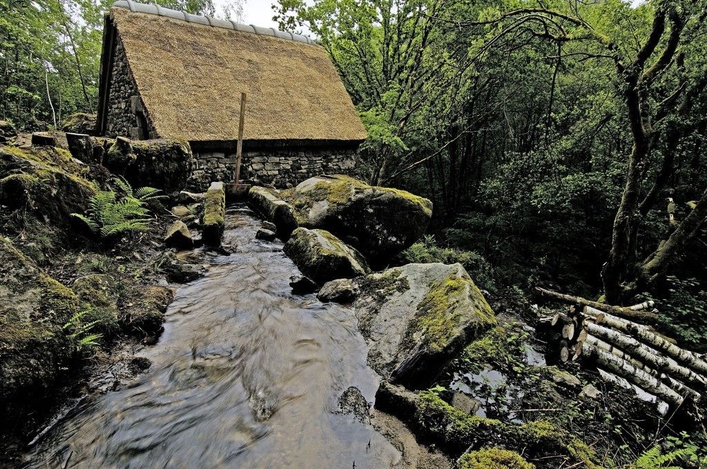
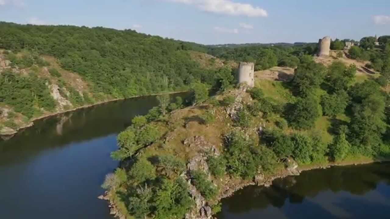
In the heart of a major listed natural site and within the perimeter of the Millevaches Regional Natural Park in Limousin region, come and immerse yourself in the environmental, historical and social wonders of this place (waterfalls, old mills).
- Sværhedsgrad
-
let
- Evaluering
-
- Rute
-
Augerolles0,2 km
- Bedste sæson
-
janfebmaraprmajjunjulaugsepoktnovdec
- Højeste punkt
- 610 m
- Destination
-
Parking des Champs de Pierre
- Højdeprofil
-
 © outdooractive.com
-

-
ForfatterRundvisningen Path of the Stone Fields and Waterfalls of Augerolles bruges af outdooractive.com forudsat.