
- Kort beskrivelse
-
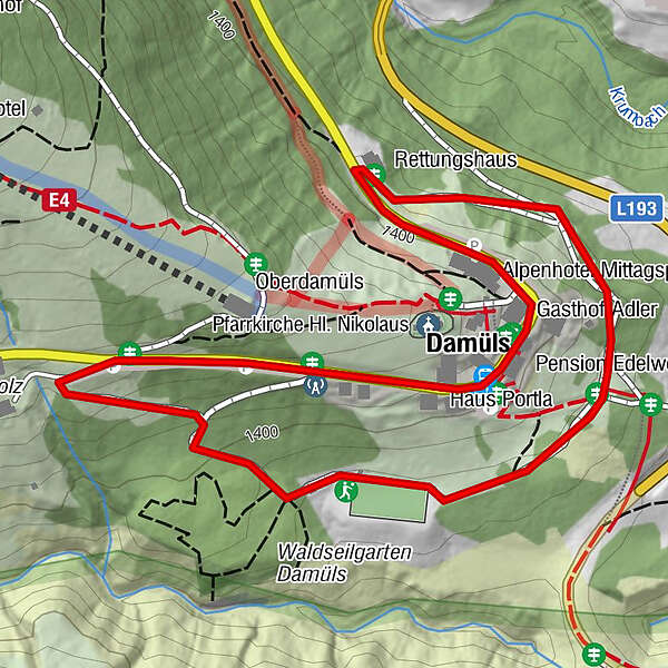
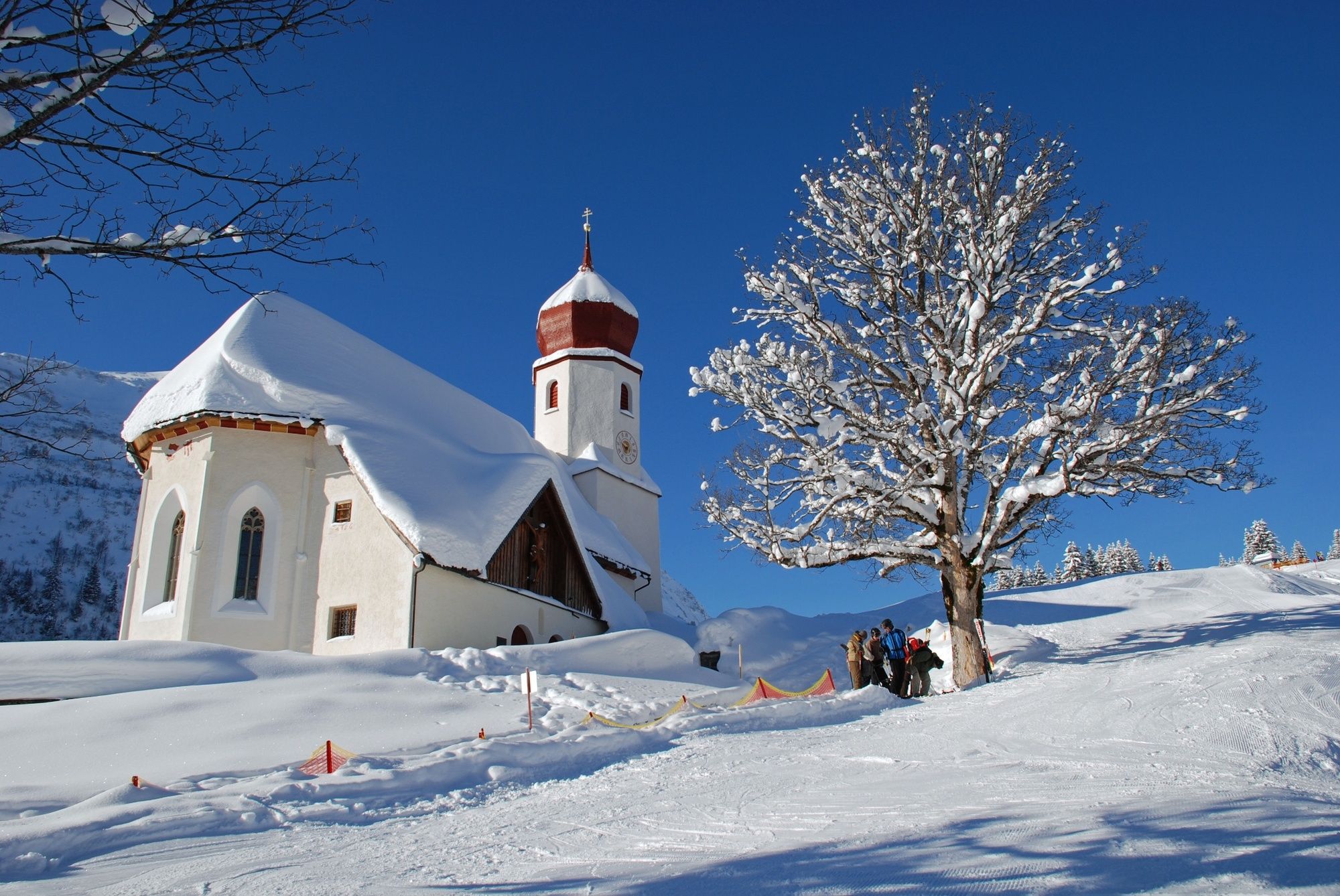
Damüls Kirchdorf - Fuchsloch - Sport-/Spielplatz - Feuerwehrhaus - Damüls Kirchdorf
- Sværhedsgrad
-
let
- Evaluering
-
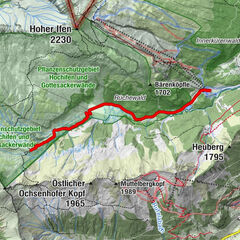
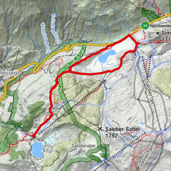
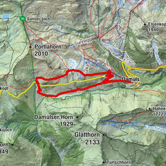
- Rute
-
Damüls (1.423 m)0,0 km
- Bedste sæson
-
augsepoktnovdecjanfebmaraprmajjunjul
- Højeste punkt
- 1.441 m
- Destination
-
Damüls Kirchdorf
- Højdeprofil
-

-

-
ForfatterRundvisningen Damüls | Kleiner Dorfrundweg bruges af outdooractive.com forudsat.
GPS Downloads


Generel information
Forfriskningsstop
Flere ture i regionerne