© Hannes Peer - Schladming Dachstein


- Kort beskrivelse
-
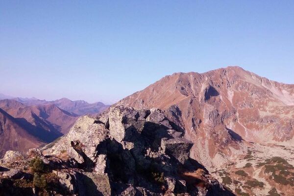
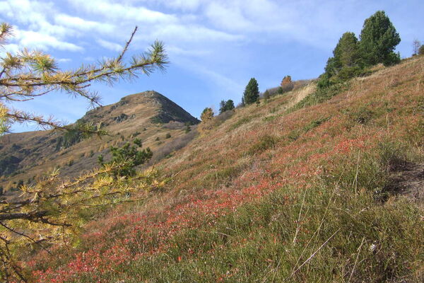
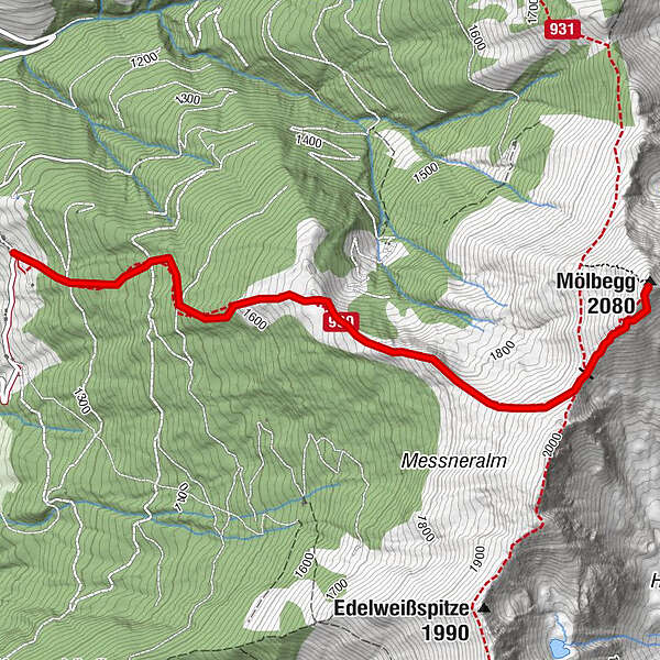
The way leads from the highest situated house in Donnersbach along a forest walk to the timberline. It goes on across the ridge to the two summits.
- Sværhedsgrad
-
medium
- Evaluering
-
- Rute
-
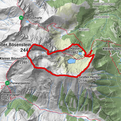
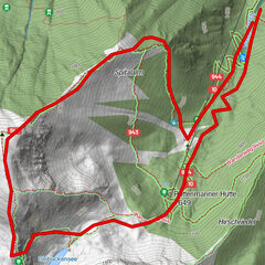
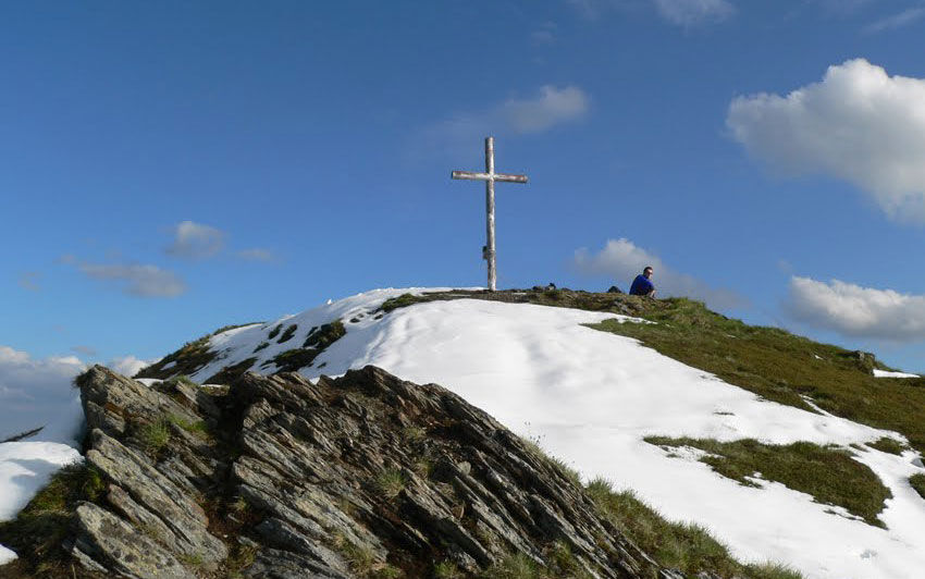
Mölbegg (2.080 m)3,3 km
- Bedste sæson
-
janfebmaraprmajjunjulaugsepoktnovdec
- Højeste punkt
- 2.071 m
- Destination
-
Summit Mölbegg and back to the farm Hochbär
- Højdeprofil
-


- Forfatter
-
Rundvisningen Mölbegg bruges af outdooractive.com forudsat.
GPS Downloads


Generel information
Flora
Fauna
Lovende
Flere ture i regionerne